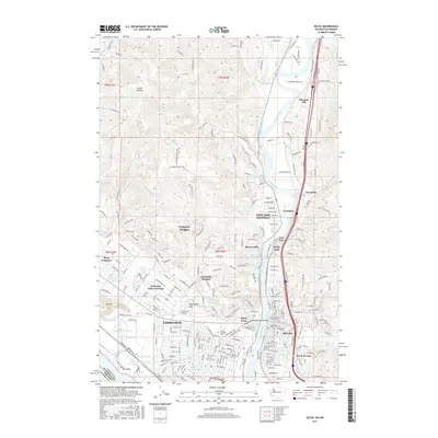
2017 Map of Kelso
USGS Topo · Published 2017About this map
Longview and Kelso sit at the strategic confluence of the Cowlitz River and the Columbia, a region defined by its industrial waterways and rapid mid-century expansion into the surrounding hills. This 2017 survey details the urban layout of both cities, highlighting the importance of the BNSF Railway and the river-based transport network that supports the local economy. The city of Longview is anchored by the prominent Lake Sacajawea and the campus of Lower Columbia Coll, while the residential sprawl reaches northward into Longview Heights and Columbia Heights. Across the river, West Kelso and the primary Kelso townsite are hemmed in by the waterway and the rising terrain of Davis Terrace. Further north, smaller settlements like Lexington and Ostrander mark the transition toward the more rural landscape of Goose Hollow, where the terrain begins to climb significantly away from the river valley.
Find a feature on this map
191 named features on this map. Tap any name to fly to it.
Don’t see what you’re looking for? This feature index may not catch every label — zoom into the map to look around manually.
Map Details
Editions of this 2017 Kelso Map
This is the sole edition of this map. No revisions or reprints were ever made.
Other maps of this area

1919 · Mayger
USGS Topo · 1:62,500

1921 · Kalama
USGS Topo · 1:62,500

1941 · Olequa
USGS Topo · 1:62,500

1941 · Clatskanie
USGS Topo · 1:62,500

1952 · Clatskanie
USGS Topo · 1:62,500

1953 · Hoquiam
USGS Topo · 1:250,000

1953 · Castle Rock
USGS Topo · 1:62,500

1953 · Mt. Brynion
USGS Topo · 1:24,000

1953 · Ryderwood
USGS Topo · 1:62,500

1953 · Rainier
USGS Topo · 1:24,000