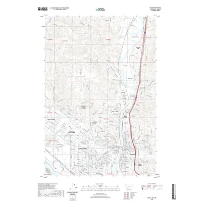
2020 Map of Kelso
USGS Topo · Published 2020About this map
Longview and Kelso sit at the strategic confluence of the Cowlitz River and the Columbia, a region defined by its industrial timber legacy and modern river transport. The landscape is marked by the engineered curves of Lake Sacajawea and the extensive system of drainage infrastructure, such as Ditch Number Ten and Ditch Number Eight, which manage the low-lying river valley. The residential spread reaches from the established streets of West Kelso up into the higher ground of Beacon Hill and Columbia Heights.
Find a feature on this map
281 named features on this map. Tap any name to fly to it.
Don’t see what you’re looking for? This feature index may not catch every label — zoom into the map to look around manually.
Map Details
Editions of this 2020 Kelso Map
This is the sole edition of this map. No revisions or reprints were ever made.
Other maps of this area

1919 · Mayger
USGS Topo · 1:62,500

1921 · Kalama
USGS Topo · 1:62,500

1941 · Olequa
USGS Topo · 1:62,500

1941 · Clatskanie
USGS Topo · 1:62,500

1952 · Clatskanie
USGS Topo · 1:62,500

1953 · Hoquiam
USGS Topo · 1:250,000

1953 · Castle Rock
USGS Topo · 1:62,500

1953 · Mt. Brynion
USGS Topo · 1:24,000

1953 · Ryderwood
USGS Topo · 1:62,500

1953 · Rainier
USGS Topo · 1:24,000