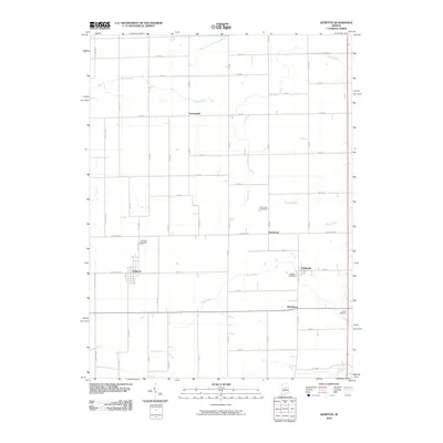
2010 Map of Kempton
USGS Topo · Published 2010About this map
Kempton anchors this section of the Tipton County countryside, where the layout of section roads and small-town clusters reflects the area’s agricultural heritage. Small unincorporated communities like Groomsville and Normanda are situated along the gridded road network, often centered near local burial grounds such as Normanda Cemetery or the more isolated Wolford Cemetery further east. The landscape is defined by its drainage patterns, with Dixon Creek and Sugar Creek meandering through the flat terrain, while Cicero Creek touches the southeastern corner.
Find a feature on this map
57 named features on this map. Tap any name to fly to it.
Don’t see what you’re looking for? This feature index may not catch every label — zoom into the map to look around manually.
Map Details
Editions of this 2010 Kempton Map
This is the sole edition of this map. No revisions or reprints were ever made.
Other maps of this area

1953 · Danville
USGS Topo · 1:250,000

1955 · Danville
USGS Topo · 1:250,000

1956 · Danville
USGS Topo · 1:250,000

1960 · Kokomo West
USGS Topo · 1:24,000

1960 · Kokomo East
USGS Topo · 1:24,000

1960 · Kempton
USGS Topo · 1:24,000

1960 · Tipton
USGS Topo · 1:24,000

1961 · Russiaville
USGS Topo · 1:24,000

1961 · Sheridan
USGS Topo · 1:24,000

1961 · Hillisburg
USGS Topo · 1:24,000