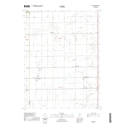
2019 Map of Kempton
USGS Topo · Published 2019About this map
Kempton and the surrounding agricultural lands of Tipton County are defined by an intricate network of drainage systems such as Carter Ditch, Barr Ditch, and Lydy-Fillenworth Ditch. These man-made waterways emphasize the intensive land management required for farming in this part of Indiana. Small clusters of settlement at Goldsmith, Tetersburg, and Groomsville are connected by a rigid grid of county roads, with several family and community burial grounds like Tucker Cem and Wolford Cem anchoring the local geography. The southern edge of the map shows the headwaters of several prominent streams including Sugar Cr and Cicero Cr, which begin their winding paths through the flat terrain. This survey reflects the enduring rural character of the region, where historical hamlets persist alongside a landscape meticulously engineered for production.
Find a feature on this map
60 named features on this map. Tap any name to fly to it.
Don’t see what you’re looking for? This feature index may not catch every label — zoom into the map to look around manually.
Map Details
Editions of this 2019 Kempton Map
This is the sole edition of this map. No revisions or reprints were ever made.
Other maps of this area

1953 · Danville
USGS Topo · 1:250,000

1955 · Danville
USGS Topo · 1:250,000

1956 · Danville
USGS Topo · 1:250,000

1960 · Kokomo West
USGS Topo · 1:24,000

1960 · Kokomo East
USGS Topo · 1:24,000

1960 · Kempton
USGS Topo · 1:24,000

1960 · Tipton
USGS Topo · 1:24,000

1961 · Russiaville
USGS Topo · 1:24,000

1961 · Sheridan
USGS Topo · 1:24,000

1961 · Hillisburg
USGS Topo · 1:24,000