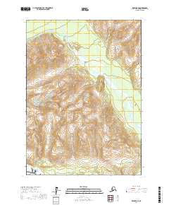
2017 Map of Kenai B-8 SE
USGS Topo · Published 2017About this map
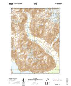
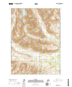
The Aleutian Range dominates this portion of the Kenai Peninsula, where steep topographic contours define a landscape of high alpine ridges and glacial drainage basins. Much of the southern and central terrain is protected within Lake Clark National Park, a designation that preserves the complex hydrological network of the region. The Crescent River serves as the primary artery for the area, fed by the glacial melt of the Lake Fork Crescent River and the North Fork Crescent River. This 2017 survey illustrates a wilderness nearly devoid of human infrastructure, focusing instead on the precise natural boundaries and the extensive wetlands documented by the FWS National Wetlands Inventory. The mapping of Lcnp land highlights the intersection of federal conservation and the raw geological forces of the Alaskan coast.
Find a feature on this map
10 named features on this map. Tap any name to fly to it.
Don’t see what you’re looking for? This feature index may not catch every label — zoom into the map to look around manually.
Map Details
Editions of this 2017 Kenai B-8 SE Map
This is the sole edition of this map. No revisions or reprints were ever made.
Other maps of this area

1944 · Kenai
USGS Topo · 1:250,000

1950 · Kenai
USGS Topo · 1:250,000
1958 · Kenai A-8
USGS Topo · 1:63,360
1958 · Kenai A-7
USGS Topo · 1:63,360

1958 · Kenai B-7
USGS Topo · 1:63,360

1958 · Kenai B-8
USGS Topo · 1:63,360

1958 · Kenai
USGS Topo · 1:250,000
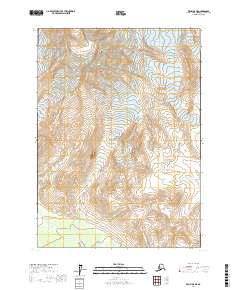
2017 · Kenai B-8 NE
USGS Topo · 1:25,000
2017 · Kenai B-8 NW
USGS Topo · 1:25,000
2017 · Kenai B-7 NW
USGS Topo · 1:25,000