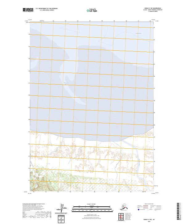
2024 Map of Kenai D-1 NE
USGS Topo · Published 2024About this map
Turnagain Arm defines the northern edge of this coastal Alaskan landscape, where the waters of Chickaloon Bay meet the sprawling mudflats and tidal wetlands of the southern shore. This transition from the maritime environment of the Cook Inlet region into the protected interior of the Kenai National Wildlife Refuge showcases a wilderness shaped by significant hydrological systems. The Chickaloon River meanders through the eastern section of the map, while Pincher Creek drains the southwestern terrain. The topography here is relatively flat near the coast, characterized by complex drainage patterns and marshland that provide critical habitat within the refuge boundaries. The map reflects the enduring natural character of the Kenai Peninsula, where the landscape is dominated by the rhythm of the tides and the flow of glacial-fed river systems.
Find a feature on this map
9 named features on this map. Tap any name to fly to it.
Don’t see what you’re looking for? This feature index may not catch every label — zoom into the map to look around manually.
Map Details
Editions of this 2024 Kenai D-1 NE Map
This is the sole edition of this map. No revisions or reprints were ever made.
Other maps of this area

1944 · Kenai
USGS Topo · 1:250,000

1949 · Tyonek
USGS Topo · 1:250,000

1950 · Kenai
USGS Topo · 1:250,000

1951 · Seward
USGS Topo · 1:250,000

1951 · Anchorage
USGS Topo · 1:250,000

1951 · Tyonek
USGS Topo · 1:250,000

1951 · Kenai D-1
USGS Topo · 1:63,360

1951 · Seward D-8
USGS Topo · 1:63,360

1951 · Tyonek A-1
USGS Topo · 1:63,360

1952 · Tyonek A-1
USGS Topo · 1:63,360