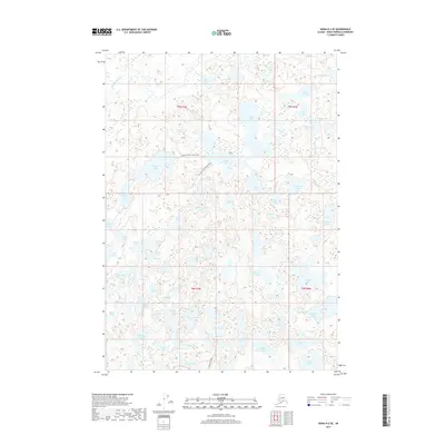
2017 Map of Kenai D-2 SE
USGS Topo · Published 2017About this map
The Swanson River Canoe Route meanders through this dense network of glacial lakes on the northern Kenai Peninsula. This 2017 survey details a landscape defined by its complex hydrology, where narrow portages and channels connect hundreds of named water bodies. Larger basins such as Birch Tree Lake and Gene Lake are surrounded by a labyrinth of smaller ones like Nekutak Lake, Kuviak Lake, and Chick Lake. Access into the interior is facilitated by Swan Lake Road, which provides a terrestrial path through the townships of t9n r7w and t8n r7w. The density of named features like Falcon Lake and Campers Lake indicates a territory heavily utilized for navigation and wilderness recreation. This map serves as a vital record of the peninsula's wilderness character, detailing the exact positions of family-named landmarks and traditional paddling corridors before future shifts in the local ecosystem.
Find a feature on this map
58 named features on this map. Tap any name to fly to it.
Don’t see what you’re looking for? This feature index may not catch every label — zoom into the map to look around manually.
Map Details
Editions of this 2017 Kenai D-2 SE Map
This is the sole edition of this map. No revisions or reprints were ever made.
Other maps of this area

1944 · Kenai
USGS Topo · 1:250,000

1950 · Kenai
USGS Topo · 1:250,000

1951 · Kenai C-1
USGS Topo · 1:63,360

1951 · Kenai C-2
USGS Topo · 1:63,360

1951 · Kenai D-1
USGS Topo · 1:63,360

1951 · Kenai D-2
USGS Topo · 1:63,360

1952 · Kenai D-2
USGS Topo · 1:63,360

1952 · Kenai C-1
USGS Topo · 1:63,360

1952 · Kenai C-2
USGS Topo · 1:63,360
1952 · Kenai D-1
USGS Topo · 1:63,360