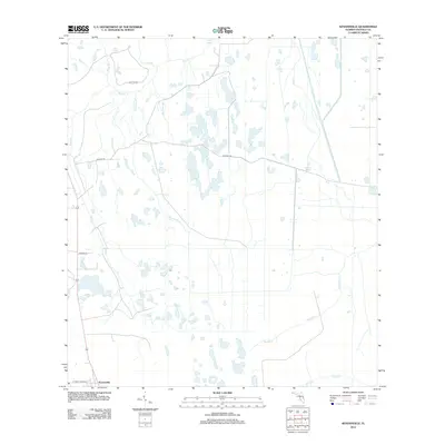
2012 Map of Kenansville
USGS Topo · Published 2012About this map
Kenansville anchors the southern edge of this Osceola County landscape, where the flatlands are defined by an intricate network of wetlands and seasonal drainages. The hydrology is dominated by numerous branches and creeks, including the westward-flowing Bull Cr and its tributaries like Tracy Br and Yoke Br. Further south, the terrain becomes increasingly interlaced with water, featuring the prominent Tenmile Cr and Gap Cr systems.
Find a feature on this map
17 named features on this map. Tap any name to fly to it.
Don’t see what you’re looking for? This feature index may not catch every label — zoom into the map to look around manually.
Map Details
Editions of this 2012 Kenansville Map
This is the sole edition of this map. No revisions or reprints were ever made.
Other maps of this area

1953 · Lake Marian SE
USGS Topo · 1:24,000

1953 · Holopaw SE
USGS Topo · 1:24,000

1953 · Kenansville SW
USGS Topo · 1:24,000

1953 · Deer Park SE
USGS Topo · 1:24,000

1953 · Kenansville
USGS Topo · 1:24,000

1953 · Kenansville NE
USGS Topo · 1:24,000

1953 · Kenansville SE
USGS Topo · 1:24,000

1953 · Deer Park
USGS Topo · 1:24,000

1953 · Lake Marian NE
USGS Topo · 1:24,000

1955 · Orlando
USGS Topo · 1:250,000