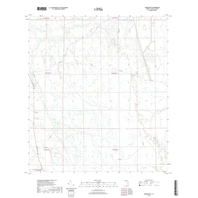
2018 Map of Kenansville
USGS Topo · Published 2018About this map
The settlement of Kenansville anchors the southwestern corner of this Osceola County landscape, where the flatlands are defined by an intricate network of wetlands and seasonal drainages. Established travel routes like N Kenansville Rd and Ten Mile Rd cut across a terrain dominated by names reflecting the local hydrology, such as Billy Lake, Clayhole Pond, and Bull Cr. The grid of the Public Land Survey System is clearly visible, segmenting the pine flatwoods and marshes into townships and ranges.
Find a feature on this map
26 named features on this map. Tap any name to fly to it.
Don’t see what you’re looking for? This feature index may not catch every label — zoom into the map to look around manually.
Map Details
Editions of this 2018 Kenansville Map
This is the sole edition of this map. No revisions or reprints were ever made.
Other maps of this area

1953 · Lake Marian SE
USGS Topo · 1:24,000

1953 · Holopaw SE
USGS Topo · 1:24,000

1953 · Kenansville SW
USGS Topo · 1:24,000

1953 · Deer Park SE
USGS Topo · 1:24,000

1953 · Kenansville
USGS Topo · 1:24,000

1953 · Kenansville NE
USGS Topo · 1:24,000

1953 · Kenansville SE
USGS Topo · 1:24,000

1953 · Deer Park
USGS Topo · 1:24,000

1953 · Lake Marian NE
USGS Topo · 1:24,000

1955 · Orlando
USGS Topo · 1:250,000