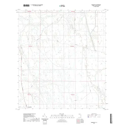
2021 Map of Kenansville
USGS Topo · Published 2021About this map
Kenansville anchors the southwest corner of this central Florida landscape, characterized by its intricate network of prairie wetlands and seasonal drainages. The area is defined by the headwaters of numerous creeks including Bull Cr and Tenmile Cr, which flow through a region of scattered ponds such as Clayhole Pond and Billy Lake. Local transit is guided by long-established routes like Ten Mile Rd and Vickers Rd, which intersect the systematic grid of township and range lines.
Find a feature on this map
27 named features on this map. Tap any name to fly to it.
Don’t see what you’re looking for? This feature index may not catch every label — zoom into the map to look around manually.
Map Details
Editions of this 2021 Kenansville Map
This is the sole edition of this map. No revisions or reprints were ever made.
Other maps of this area

1953 · Lake Marian SE
USGS Topo · 1:24,000

1953 · Holopaw SE
USGS Topo · 1:24,000

1953 · Kenansville SW
USGS Topo · 1:24,000

1953 · Deer Park SE
USGS Topo · 1:24,000

1953 · Kenansville
USGS Topo · 1:24,000

1953 · Kenansville NE
USGS Topo · 1:24,000

1953 · Kenansville SE
USGS Topo · 1:24,000

1953 · Deer Park
USGS Topo · 1:24,000

1953 · Lake Marian NE
USGS Topo · 1:24,000

1955 · Orlando
USGS Topo · 1:250,000