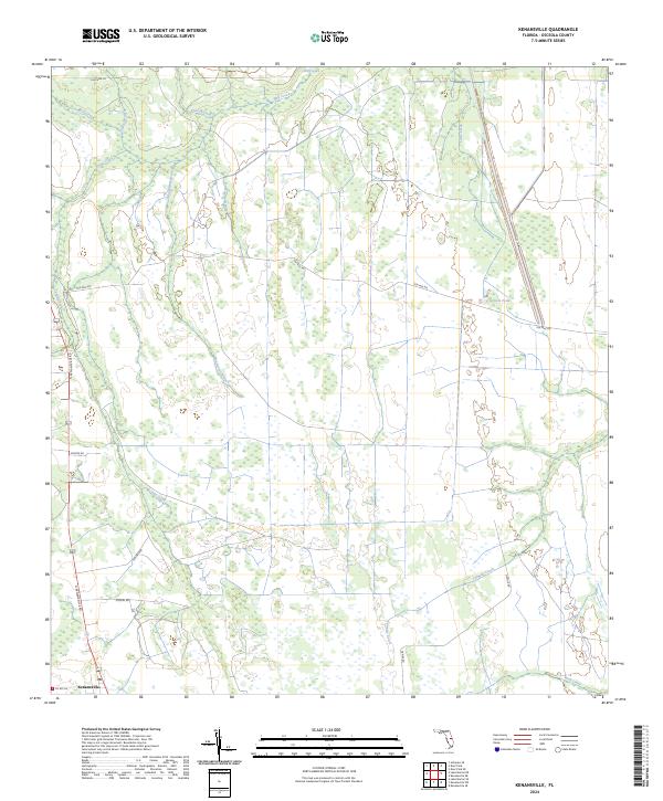
2024 Map of Kenansville
USGS Topo · Published 2024About this map
The settlement of Kenansville anchors the southwest corner of this modern topographic study, a region defined by its complex drainage systems and subtle Florida flatwoods. In the north, Billy Lake and Bull Creek feed into a network of waterways including Tracey Branch, Yoke Branch, and Tyson Creek. The landscape is etched by long-standing local roads like N Kenansville Rd and Ten Mile Rd, which provide access through the township and range grids.
Find a feature on this map
27 named features on this map. Tap any name to fly to it.
Don’t see what you’re looking for? This feature index may not catch every label — zoom into the map to look around manually.
Map Details
Editions of this 2024 Kenansville Map
This is the sole edition of this map. No revisions or reprints were ever made.
Other maps of this area

1953 · Lake Marian SE
USGS Topo · 1:24,000

1953 · Holopaw SE
USGS Topo · 1:24,000

1953 · Kenansville SW
USGS Topo · 1:24,000

1953 · Deer Park SE
USGS Topo · 1:24,000

1953 · Kenansville
USGS Topo · 1:24,000

1953 · Kenansville NE
USGS Topo · 1:24,000

1953 · Kenansville SE
USGS Topo · 1:24,000

1953 · Deer Park
USGS Topo · 1:24,000

1953 · Lake Marian NE
USGS Topo · 1:24,000

1955 · Orlando
USGS Topo · 1:250,000