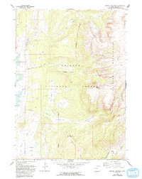
1968 Map of Kendall Mountain
USGS Topo · Published 1993About this map
Kendall Mountain rises as the central landmark of this high-country survey, which documents a landscape defined by dramatic glacial basins and protected federal lands. The 1968 field-check captures the area within the Bridger National Forest and the Bridger Wilderness, highlighting the intersection of recreation and resource management. A network of primitive transport routes, including the Boulder Basin Trail and various pack trails, suggests a period when this region was primarily accessed by foot or horse.
Find a feature on this map
23 named features on this map. Tap any name to fly to it.
Don’t see what you’re looking for? This feature index may not catch every label — zoom into the map to look around manually.
Map Details
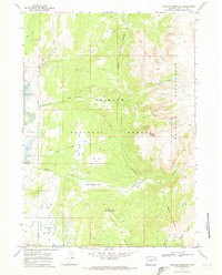
Editions of this 1968 Kendall Mountain Map
2 editions found
Other maps of this area

1907 · Gros Ventre
USGS Topo · 1:125,000

1909 · Fremont Peak
USGS Topo · 1:125,000

1910 · Gros Ventre
USGS Topo · 1:125,000

1955 · Driggs
USGS Topo · 1:250,000

1955 · Thermopolis
USGS Topo · 1:250,000

1958 · Driggs
USGS Topo · 1:250,000

1958 · Thermopolis
USGS Topo · 1:250,000

1962 · Thermopolis
USGS Topo · 1:250,000

1962 · Driggs
USGS Topo · 1:250,000
1966 · Warren Bridge
USGS Topo · 1:24,000