
1950 Map of Kendrick
USGS Topo · Published 1953About this map
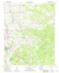
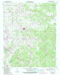
The Tennessee Valley landscape along the Mississippi and Tennessee border is defined by a dense network of headwater streams and the intersection of major transportation corridors in the early 1950s. The Southern Railway and Illinois Central Railroad converge near the growing settlement of Corinth, while smaller farming communities like Farmington and Strickland remain anchored by local landmarks. A notable concentration of rural institutions is visible, including the McGlathery Sch, Oakland Sch, and Hopewell School, alongside numerous country churches such as Jerusalem Church and Fraley Chapel. The terrain transitions from the ridge-top Glen Lookout Tower down into creek bottoms such as Sevenmile Creek and Clear Creek, where land use was managed through systems like the Chambers Drainage Canal. Small family cemeteries including Marvin Cem and Wyly Cem provide valuable evidence of the area's long-established genealogical roots.
Find a feature on this map
66 named features on this map. Tap any name to fly to it.
Don’t see what you’re looking for? This feature index may not catch every label — zoom into the map to look around manually.
Map Details
Editions of this 1950 Kendrick Map
Other maps of this area

1935 · Doskie
USGS Topo · 1:24,000

1935 · Leedy
USGS Topo · 1:24,000

1935 · Glens
USGS Topo · 1:24,000

1936 · Counce
USGS Topo · 1:24,000

1936 · Kendrick
USGS Topo · 1:24,000

1936 · Michie
USGS Topo · 1:24,000
1949 · Counce
USGS Topo · 1:24,000

1949 · Michie
USGS Topo · 1:24,000

1950 · Corinth
USGS Topo · 1:62,500
1950 · Burnsville
USGS Topo · 1:24,000