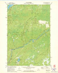
1971 Map of Kennan NW
USGS Topo · Published 1973About this map
The South Fork Flambeau River carves a diagonal path through this 1971 survey of northern Wisconsin, defining a landscape dominated by managed timber and wildlife conservation. Much of the territory is contained within the Flambeau River State Forest and the Kimberly-Clark Wildlife Area, reflecting the region's focus on forest management and outdoor recreation. The river's character is marked by numerous white-water features, including Cornsheller Rapids, Big Bull Rapids, and Bergeron Rapids, which historically dictated navigation and logging efforts.
Find a feature on this map
38 named features on this map. Tap any name to fly to it.
Don’t see what you’re looking for? This feature index may not catch every label — zoom into the map to look around manually.
Map Details
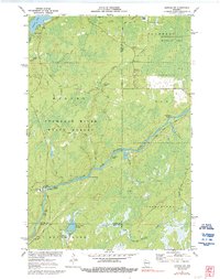
Editions of this 1971 Kennan NW Map
2 editions found
Other maps of this area

1941 · Kennan
USGS Topo · 1:48,000

1941 · Kennedy
USGS Topo · 1:48,000

1944 · Draper
USGS Topo · 1:48,000

1945 · Kennedy
USGS Topo · 1:48,000

1945 · Kennan
USGS Topo · 1:48,000

1945 · Ingram
USGS Topo · 1:48,000

1947 · Ingram
USGS Topo · 1:48,000

1947 · Draper
USGS Topo · 1:48,000

1953 · Rice Lake
USGS Topo · 1:250,000

1959 · Rice Lake
USGS Topo · 1:250,000