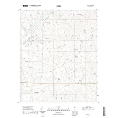
2020 Map of Kennedy
USGS Topo · Published 2020About this map
Kennedy serves as the primary hub in this west Alabama landscape, where the town’s street grid transitions into a network of winding county roads. The terrain is defined by the significant drainage basins of Luxapalila Creek and Coal Fire Cr, which create a complex series of ridges and hollows across the Lamar, Fayette, and Pickens county lines. This 2020 dataset provides a contemporary view of the region's rural character, emphasizing a high density of family and community burial grounds that reflect generations of local settlement.
Find a feature on this map
86 named features on this map. Tap any name to fly to it.
Don’t see what you’re looking for? This feature index may not catch every label — zoom into the map to look around manually.
Map Details
Editions of this 2020 Kennedy Map
This is the sole edition of this map. No revisions or reprints were ever made.
Other maps of this area

1953 · Birmingham
USGS Topo · 1:250,000

1953 · West Point
USGS Topo · 1:250,000

1956 · Birmingham
USGS Topo · 1:250,000

1957 · Birmingham
USGS Topo · 1:250,000

1958 · West Point
USGS Topo · 1:250,000

1963 · West Point
USGS Topo · 1:250,000

1967 · Brownville
USGS Topo · 1:24,000

1967 · Newtonville
USGS Topo · 1:24,000

1967 · Hightogy
USGS Topo · 1:24,000

1967 · Kennedy
USGS Topo · 1:24,000