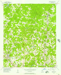
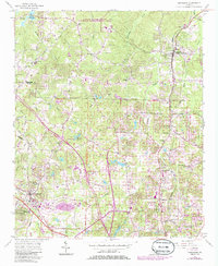
1956 Map of Kennesaw
USGS Topo · Published 1957About this map
Kennesaw and Woodstock anchor this mid-century portrait of Cobb and Cherokee counties, a landscape defined by its transition from rural farmsteads to a developing transportation corridor. The Louisville and Nashville railroad tracks cut a definitive north-south line through the terrain, paralleled by a network of local arteries including Nashville Road and Moon Station Road. This 1950s survey documents the area just after the creation of the Allatoona Reservoir, which shaped the northwestern topography along Kellogg Creek.
Find a feature on this map
25 named features on this map. Tap any name to fly to it.
Don’t see what you’re looking for? This feature index may not catch every label — zoom into the map to look around manually.
Map Details
Editions of this 1956 Kennesaw Map
5 editions found
Other maps of this area

1888 · Atlanta
USGS Topo · 1:125,000

1890 · Suwanee
USGS Topo · 1:125,000

1890 · Cartersville
USGS Topo · 1:125,000

1890 · Atlanta
USGS Topo · 1:125,000

1891 · Marietta
USGS Topo · 1:125,000

1891 · Cartersville
USGS Topo · 1:125,000

1892 · Atlanta
USGS Topo · 1:125,000

1894 · Suwanee
USGS Topo · 1:125,000

1895 · Atlanta
USGS Topo · 1:125,000

1895 · Marietta
USGS Topo · 1:125,000