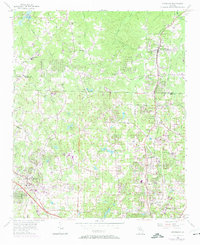
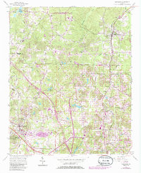
1956 Map of Kennesaw
USGS Topo · Published 1974About this map
Woodstock and Kennesaw anchor the landscape of northern Cobb and southern Cherokee counties during a period of transition toward suburban growth. The northern edge of the map is defined by the newly formed Allatoona Lake and the winding course of Noonday Creek. The region’s rural foundations are evident in the density of country churches and schools, such as Bascomb Ch, Oak Grove Sch, and Mt Zion Ch.
Find a feature on this map
61 named features on this map. Tap any name to fly to it.
Don’t see what you’re looking for? This feature index may not catch every label — zoom into the map to look around manually.
Map Details
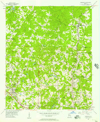
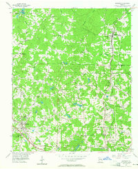
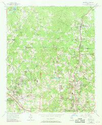
Editions of this 1956 Kennesaw Map
5 editions found
Other maps of this area

1888 · Atlanta
USGS Topo · 1:125,000

1890 · Suwanee
USGS Topo · 1:125,000

1890 · Cartersville
USGS Topo · 1:125,000

1890 · Atlanta
USGS Topo · 1:125,000

1891 · Marietta
USGS Topo · 1:125,000

1891 · Cartersville
USGS Topo · 1:125,000

1892 · Atlanta
USGS Topo · 1:125,000

1894 · Suwanee
USGS Topo · 1:125,000

1895 · Atlanta
USGS Topo · 1:125,000

1895 · Marietta
USGS Topo · 1:125,000