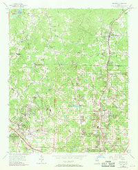
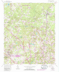
1956 Map of Kennesaw
USGS Topo · Published 1969About this map
The town of Kennesaw and the northern reaches of Cobb County appear in this mid-century survey, just as the region began a period of significant suburban expansion. The Louisville and Nashville railroad serves as the primary industrial spine, running through Woodstock in the northeast and connecting several small rural communities. The map highlights numerous local landmarks that define the area's social fabric, such as Oak Grove Sch and Fellowship Ch, alongside family-named sites like the Gresham Cem.
Find a feature on this map
44 named features on this map. Tap any name to fly to it.
Don’t see what you’re looking for? This feature index may not catch every label — zoom into the map to look around manually.
Map Details
Editions of this 1956 Kennesaw Map
5 editions found
Other maps of this area

1888 · Atlanta
USGS Topo · 1:125,000

1890 · Suwanee
USGS Topo · 1:125,000

1890 · Cartersville
USGS Topo · 1:125,000

1890 · Atlanta
USGS Topo · 1:125,000

1891 · Marietta
USGS Topo · 1:125,000

1891 · Cartersville
USGS Topo · 1:125,000

1892 · Atlanta
USGS Topo · 1:125,000

1894 · Suwanee
USGS Topo · 1:125,000

1895 · Atlanta
USGS Topo · 1:125,000

1895 · Marietta
USGS Topo · 1:125,000