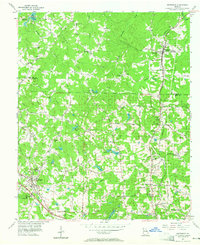
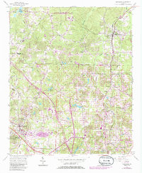
1956 Map of Kennesaw
USGS Topo · Published 1965About this map
The W & A RR and the Louisville and Nashville railroads anchor this mid-century portrait of North Georgia, where the developing transportation corridors of Kennesaw and Woodstock meet a landscape still defined by its agrarian roots. The map reveals a dense network of local landmarks, including the Oak Grove Sch and Blackwells Sch, alongside numerous rural congregations such as Shiloh Ch and Mt Olive Ch.
Find a feature on this map
68 named features on this map. Tap any name to fly to it.
Don’t see what you’re looking for? This feature index may not catch every label — zoom into the map to look around manually.
Map Details
Editions of this 1956 Kennesaw Map
5 editions found
Other maps of this area

1888 · Atlanta
USGS Topo · 1:125,000

1890 · Suwanee
USGS Topo · 1:125,000

1890 · Cartersville
USGS Topo · 1:125,000

1890 · Atlanta
USGS Topo · 1:125,000

1891 · Marietta
USGS Topo · 1:125,000

1891 · Cartersville
USGS Topo · 1:125,000

1892 · Atlanta
USGS Topo · 1:125,000

1894 · Suwanee
USGS Topo · 1:125,000

1895 · Atlanta
USGS Topo · 1:125,000

1895 · Marietta
USGS Topo · 1:125,000