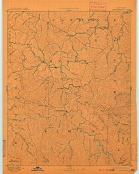
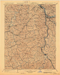
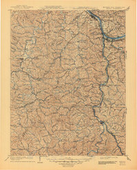
1903 Map of Kenova
USGS Topo · Published 1919About this map
The confluence of the Ohio and Big Sandy Rivers serves as the central hub of this early twentieth-century survey, where the borders of Kentucky, Ohio, and West Virginia meet. Industrial and transit networks are prominent, particularly the Chesapeake and Ohio RR and Norfolk and Western RR which connect the bustling river towns of Ashland, Catlettsburg, and Kenova. The landscape is defined by the sharp transition from these riverfront commerce centers to the dissected plateaus of the interior, where numerous small settlements like Argillite and Coalton follow the winding paths of Little Sandy River and Tygarts Creek. Researchers can trace the early industrial footprint of the region through specific junctions such as MiSavage Junc and the numerous bench marks that dot the ridges, providing a precise record of the topography before significant mid-century development altered these drainage basins.
Find a feature on this map
242 named features on this map. Tap any name to fly to it.
Don’t see what you’re looking for? This feature index may not catch every label — zoom into the map to look around manually.
Map Details
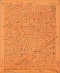
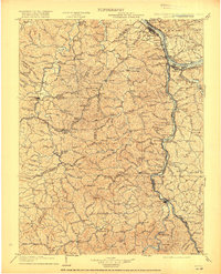
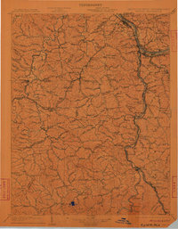
Editions of this 1903 Kenova Map
5 editions found

Historical Maps of Huntington Through Time
6 maps found