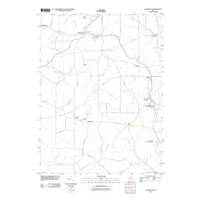
2010 Map of Kensington
USGS Topo · Published 2010About this map
Kensington and Summitville anchor this 2010 topographic record of Columbiana County, where the landscape is defined by the headwaters and branches of numerous runs. The area is marked by a high density of small rural communities, including Dungannon, Norristown, Millport, and Lynchburg. These settlements are linked by a network of established roads such as Mechanicstown RD and Foundry Hill RD, which follow the natural contours of the undulating Ohio terrain. Local history is deeply embedded in the land through family and community burial grounds, including Sandy Springs Cemetery, Roudebush Cemetery, and Bethesda Cemetery. The local economy and environment are further shaped by industrial and agricultural water features like Manfull Lake, France Lake, and the specialized infrastructure at the Summitville Clay Products Lake Dam, illustrating the regional reliance on local drainage systems like Still Fork and Sandy Creek.
Find a feature on this map
79 named features on this map. Tap any name to fly to it.
Don’t see what you’re looking for? This feature index may not catch every label — zoom into the map to look around manually.
Map Details
Editions of this 2010 Kensington Map
This is the sole edition of this map. No revisions or reprints were ever made.
Other maps of this area

1905 · Salineville
USGS Topo · 1:62,500

1909 · Alliance
USGS Topo · 1:62,500

1909 · Lisbon
USGS Topo · 1:62,500

1910 · Carrollton
USGS Topo · 1:62,500

1912 · Carrollton
USGS Topo · 1:62,500

1951 · Canton
USGS Topo · 1:250,000

1953 · Canton
USGS Topo · 1:250,000

1957 · Canton
USGS Topo · 1:250,000
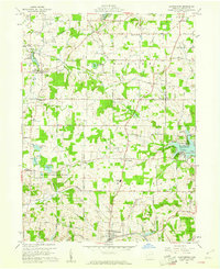
1959 · Hanoverton
USGS Topo · 1:24,000
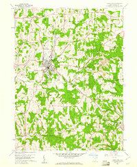
1959 · Carrollton
USGS Topo · 1:24,000