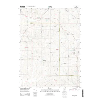
2013 Map of Kensington
USGS Topo · Published 2013About this map
Kensington and Hanoverton anchor the northern reaches of this landscape, where the boundary between Columbiana and Carroll counties cuts across a terrain defined by the drainage of Sandy Cr and Muddy Fork. The map documents a rural transition where traditional agriculture meets local industry, most notably at the Summitville Clay Products Lake and the Summitville Clay Works Pond Dam near the village of Summitville. Genealogists will find several significant burial grounds, including Sandy Springs Cem near the northern border and Bethesda Cem to the east. Small settlements like Five Forks, Millport, and Norristown are linked by a network of local roads such as Laughlin Mill Rd and Gavers Rd, while the presence of the Buckeye Tree Farm and lakes like Manfull Lake and France Lake further characterize the region's land use.
Find a feature on this map
89 named features on this map. Tap any name to fly to it.
Don’t see what you’re looking for? This feature index may not catch every label — zoom into the map to look around manually.
Map Details
Editions of this 2013 Kensington Map
This is the sole edition of this map. No revisions or reprints were ever made.
Other maps of this area

1905 · Salineville
USGS Topo · 1:62,500

1909 · Alliance
USGS Topo · 1:62,500

1909 · Lisbon
USGS Topo · 1:62,500

1910 · Carrollton
USGS Topo · 1:62,500

1912 · Carrollton
USGS Topo · 1:62,500

1951 · Canton
USGS Topo · 1:250,000

1953 · Canton
USGS Topo · 1:250,000

1957 · Canton
USGS Topo · 1:250,000
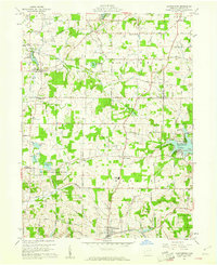
1959 · Hanoverton
USGS Topo · 1:24,000
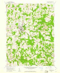
1959 · Carrollton
USGS Topo · 1:24,000