
1994 Map of Kensington
USGS Topo · Published 1998About this map
Kensington and the surrounding borderlands of Columbiana and Carroll Counties are defined by a landscape of small rural settlements and active industry as documented in this late-20th-century photoinspection. The village of Hanoverton anchors the north, while smaller nodes like Summitville, Millport, and Dungannon are scattered among the ridges. Local community life is centered on historic gathering places including Bethesda Ch, St Johns Ch, and the Township Sch.
Find a feature on this map
54 named features on this map. Tap any name to fly to it.
Don’t see what you’re looking for? This feature index may not catch every label — zoom into the map to look around manually.
Map Details
Editions of this 1994 Kensington Map
This is the sole edition of this map. No revisions or reprints were ever made.
Other maps of this area

1905 · Salineville
USGS Topo · 1:62,500

1909 · Alliance
USGS Topo · 1:62,500

1909 · Lisbon
USGS Topo · 1:62,500

1910 · Carrollton
USGS Topo · 1:62,500

1912 · Carrollton
USGS Topo · 1:62,500

1951 · Canton
USGS Topo · 1:250,000

1953 · Canton
USGS Topo · 1:250,000

1957 · Canton
USGS Topo · 1:250,000
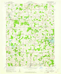
1959 · Hanoverton
USGS Topo · 1:24,000
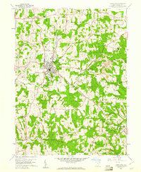
1959 · Carrollton
USGS Topo · 1:24,000