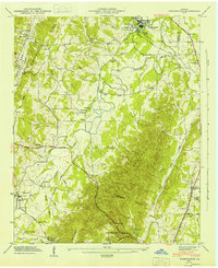
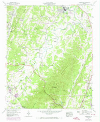
1946 Map of Kensington
USGS Topo · Published 1947About this map
Pigeon Mountain and the Straight Divide dominate the southern landscape of this mid-century survey, creating a sharp natural boundary between the Chattanooga Valley and the West Chickamauga Valley. The settlement at Chickamauga is anchored by the Gordon Lee Sch and Chickamauga Spring Lake, while the rail corridor of the Central of Georgia RR follows the valley floor north toward the Tennessee border.
Find a feature on this map
70 named features on this map. Tap any name to fly to it.
Don’t see what you’re looking for? This feature index may not catch every label — zoom into the map to look around manually.
Map Details
Editions of this 1946 Kensington Map
6 editions found

Other maps of this area

1886 · Ringgold
USGS Topo · 1:125,000

1892 · Ringgold
USGS Topo · 1:125,000

1935 · Catlett
USGS Topo · 1:24,000

1935 · East Ridge
USGS Topo · 1:24,000

1935 · Durham
USGS Topo · 1:24,000

1935 · Nickajack Gap
USGS Topo · 1:24,000

1936 · Kensington
USGS Topo · 1:24,000

1936 · Hooker
USGS Topo · 1:24,000

1936 · Estelle
USGS Topo · 1:24,000

1936 · Fort Oglethorpe
USGS Topo · 1:24,000