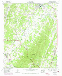
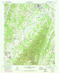
1946 Map of Kensington
USGS Topo · Published 1974About this map
The town of Chickamauga anchors this Northwest Georgia landscape, where the ridges and valleys of the Cumberland Plateau transition into the Appalachian foothills. This 1946 field survey captures a rural economy still tied to the land and its resources, featuring numerous family and community landmarks such as Old Bethel Church, Hall Mill, and Pond Spring School. The transportation network is defined by the Tennessee Alabama and Georgia Railway and the Lookout Scenic Highway, which traverse the dramatic topography of Lookout Mountain and Missionary Ridge.
Find a feature on this map
52 named features on this map. Tap any name to fly to it.
Don’t see what you’re looking for? This feature index may not catch every label — zoom into the map to look around manually.
Map Details
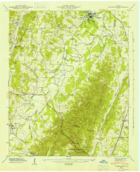
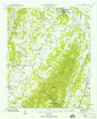
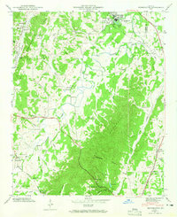
Editions of this 1946 Kensington Map
6 editions found

Other maps of this area

1886 · Ringgold
USGS Topo · 1:125,000

1892 · Ringgold
USGS Topo · 1:125,000

1935 · Catlett
USGS Topo · 1:24,000

1935 · East Ridge
USGS Topo · 1:24,000

1935 · Durham
USGS Topo · 1:24,000

1935 · Nickajack Gap
USGS Topo · 1:24,000

1936 · Kensington
USGS Topo · 1:24,000

1936 · Hooker
USGS Topo · 1:24,000

1936 · Estelle
USGS Topo · 1:24,000

1936 · Fort Oglethorpe
USGS Topo · 1:24,000