
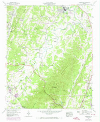
1946 Map of Kensington
USGS Topo · Published 1947About this map
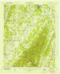
Chickamauga stands as the primary hub in this Walker County landscape, situated where the Central of Georgia Railroad meets local thoroughfares like Glass Mill Road. The 1946 topography reveals a region defined by its narrow valleys and ridges, with the steep slopes of Lookout Mountain and Pigeon Mountain framing the rural agricultural and industrial activity. Deeply tied to the terrain, small family and community anchors like the Gordon Lee School and Old Bethel Church dot the lowland areas near West Chickamauga Creek.
Find a feature on this map
53 named features on this map. Tap any name to fly to it.
Don’t see what you’re looking for? This feature index may not catch every label — zoom into the map to look around manually.
Map Details
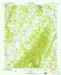
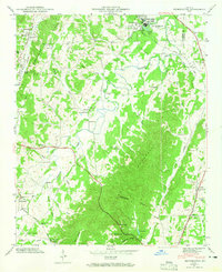
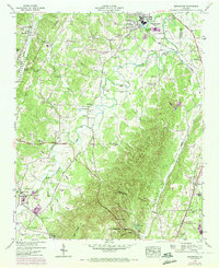
Editions of this 1946 Kensington Map
6 editions found
Other maps of this area

1886 · Ringgold
USGS Topo · 1:125,000

1892 · Ringgold
USGS Topo · 1:125,000

1935 · Catlett
USGS Topo · 1:24,000

1935 · East Ridge
USGS Topo · 1:24,000

1935 · Durham
USGS Topo · 1:24,000

1935 · Nickajack Gap
USGS Topo · 1:24,000

1936 · Kensington
USGS Topo · 1:24,000

1936 · Hooker
USGS Topo · 1:24,000

1936 · Estelle
USGS Topo · 1:24,000

1936 · Fort Oglethorpe
USGS Topo · 1:24,000