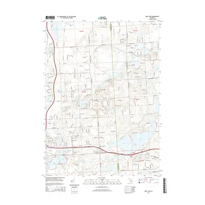
2014 Map of Kent Lake
USGS Topo · Published 2014About this map
Kent Lake and the winding Huron River corridor dominate this landscape on the border of Livingston and Oakland Counties. The map reveals a high density of small kettle lakes and wetlands, including Sears Lake, Honeywell Lake, and Wildwing Lake, reflecting the region's complex post-glacial geography. The historical footprint of the area is well-preserved through numerous small burying grounds, such as Bird Cem, Brighton Cem, and the Woodruff Farm Cem, which are scattered among contemporary developments like The Bluffs.
Find a feature on this map
233 named features on this map. Tap any name to fly to it.
Don’t see what you’re looking for? This feature index may not catch every label — zoom into the map to look around manually.
Map Details
Editions of this 2014 Kent Lake Map
This is the sole edition of this map. No revisions or reprints were ever made.
Other maps of this area

1902 · South Lyon
USGS Topo · 1:62,500

1902 · Dexter
USGS Topo · 1:62,500

1904 · Ann Arbor
USGS Topo · 1:125,000

1906 · Dexter
USGS Topo · 1:62,500

1906 · South Lyon
USGS Topo · 1:62,500

1907 · Howell
USGS Topo · 1:62,500

1908 · Ann Arbor
USGS Topo · 1:125,000

1909 · Howell
USGS Topo · 1:62,500

1909 · Milford
USGS Topo · 1:62,500

1936 · Wixom
USGS Topo · 1:31,680
Featured Places
- Lyon Charter Township, MI
- Green Oak Charter Township, MI
- Highland Charter Township, MI
- Brighton Charter Township, MI
- Milford Charter Township, MI