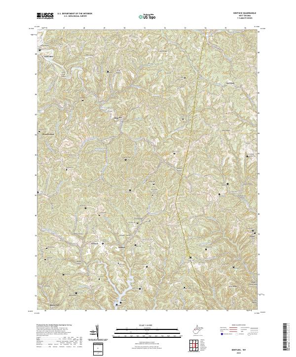
2023 Map of Kentuck
USGS Topo · Published 2023About this map
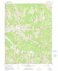
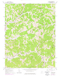
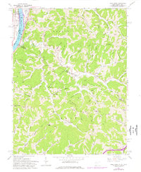
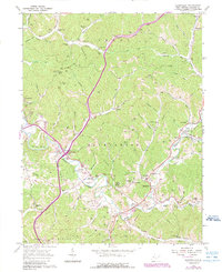
Statts Mills and Belgrove anchor a landscape defined by the intricate ridges and hollows of the Appalachian Plateau, straddling the border of Jackson and Roane counties. This topographic study reveals a deeply dissected terrain where communities like Kentuck and Fletcher occupy small clearings between prominent heights such as Limber Ridge and Aplin Ridge. The drainage network, led by the Tug Fork and Grasslick Creek, dictates the winding paths of rural roads like Kentuck Rd and Belgrove Rd.
Find a feature on this map
135 named features on this map. Tap any name to fly to it.
Don’t see what you’re looking for? This feature index may not catch every label — zoom into the map to look around manually.
Map Details
Editions of this 2023 Kentuck Map
This is the sole edition of this map. No revisions or reprints were ever made.
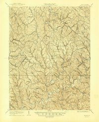
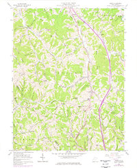
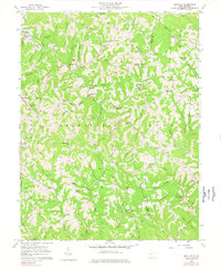
Historical Maps of Kentuck Through Time
15 maps found

1906 Kenna
Jackson County, WV
1907 Kenna
Jackson County, WV
1957 Kenna
Jackson County, WV
1957 Kentuck
Jackson County, WV
1960 Gay
Jackson County, WV
1960 Liverpool
Jackson County, WV
1960 Pond Creek
Jackson County, WV
1960 Sandyville
Jackson County, WV
1994 Pond Creek
Jackson County, WV
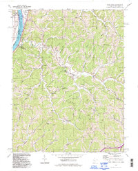
2023 Gay
Jackson County, WV
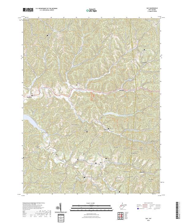
2023 Kenna
Jackson County, WV
2023 Kentuck
Jackson County, WV
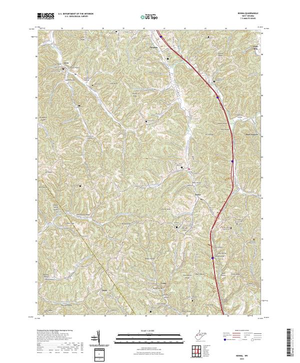
2023 Liverpool
Jackson County, WV
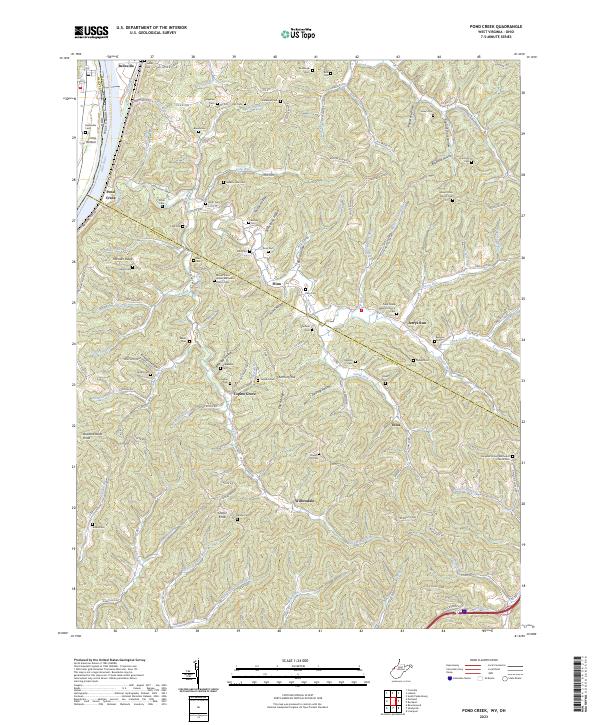
2023 Pond Creek
Jackson County, WV
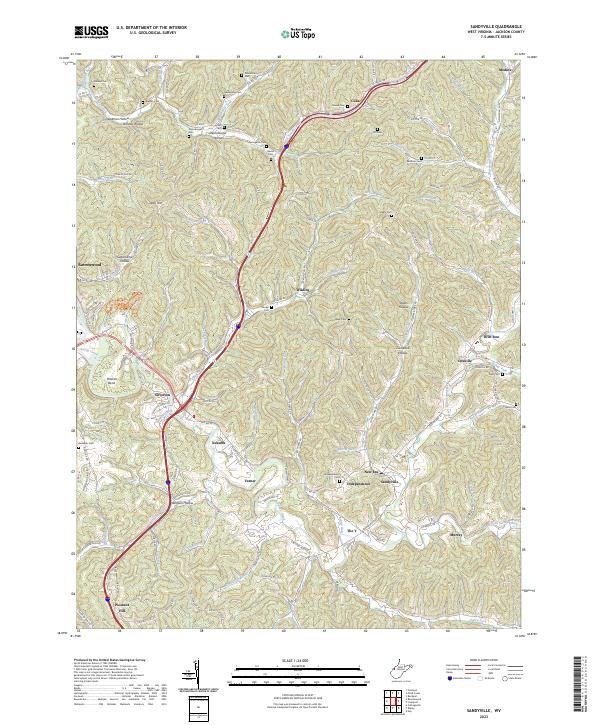
2023 Sandyville
Jackson County, WV