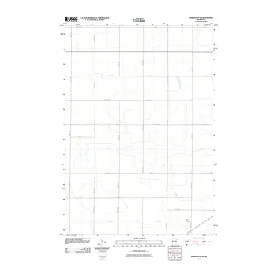
2010 Map of Kerkhoven SE
USGS Topo · Published 2010About this map
Sacred Heart Cemetery stands as a focal point in the southeastern portion of this landscape, situated near the intersection of 160th Ave SE and 10th St SE. The terrain is defined by a dense, systematic grid of rural roads, including arterial routes like County Hwy-2 and 110th Ave NE, which organize the agricultural land into precise sections. This geometric layout reflects the enduring influence of the Public Land Survey System on the Minnesota prairie.
Find a feature on this map
25 named features on this map. Tap any name to fly to it.
Don’t see what you’re looking for? This feature index may not catch every label — zoom into the map to look around manually.
Map Details
Editions of this 2010 Kerkhoven SE Map
This is the sole edition of this map. No revisions or reprints were ever made.
Other maps of this area

1953 · New Ulm
USGS Topo · 1:250,000

1953 · Saint Cloud
USGS Topo · 1:250,000

1957 · Saint Cloud
USGS Topo · 1:250,000

1957 · New Ulm
USGS Topo · 1:250,000

1958 · New Ulm
USGS Topo · 1:250,000

1958 · Saint Cloud
USGS Topo · 1:250,000

1958 · Murdock
USGS Topo · 1:24,000

1958 · Kerkhoven SE
USGS Topo · 1:24,000

1958 · Kerkhoven
USGS Topo · 1:24,000

1958 · Kerkhoven SW
USGS Topo · 1:24,000