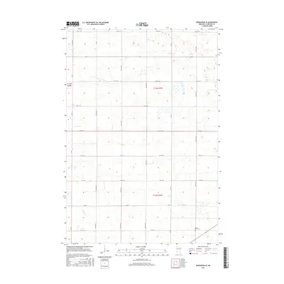
2016 Map of Kerkhoven SE
USGS Topo · Published 2016About this map
Sacred Heart Cem stands as a quiet landmark in the southeastern corner of this agricultural region, marking a point of local heritage within the grid of Chippewa County. The landscape is defined by the Public Land Survey System boundaries of t119n r37w and t118n r37w, where the prairie is etched with a precise network of section lines and gravel roads. In the southwest, the wandering path of Hawk Cr provides the primary natural relief against the rectilinear farm plots. Major transit corridors such as Co Rd 2 and Co Rd 1 facilitate movement between the scattered farmsteads, while the dense concentration of wetlands and depressional basins across the townships reflects the glacially-formed hydrology characteristic of west-central Minnesota.
Find a feature on this map
24 named features on this map. Tap any name to fly to it.
Don’t see what you’re looking for? This feature index may not catch every label — zoom into the map to look around manually.
Map Details
Editions of this 2016 Kerkhoven SE Map
This is the sole edition of this map. No revisions or reprints were ever made.
Other maps of this area

1953 · New Ulm
USGS Topo · 1:250,000

1953 · Saint Cloud
USGS Topo · 1:250,000

1957 · Saint Cloud
USGS Topo · 1:250,000

1957 · New Ulm
USGS Topo · 1:250,000

1958 · New Ulm
USGS Topo · 1:250,000

1958 · Saint Cloud
USGS Topo · 1:250,000

1958 · Murdock
USGS Topo · 1:24,000

1958 · Kerkhoven SE
USGS Topo · 1:24,000

1958 · Kerkhoven
USGS Topo · 1:24,000

1958 · Kerkhoven SW
USGS Topo · 1:24,000