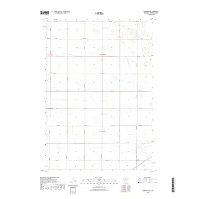
2019 Map of Kerkhoven SE
USGS Topo · Published 2019About this map
Hawk Cr winds through the southern reaches of this agricultural landscape in Chippewa County, marking one of the few natural breaks in an otherwise orderly grid of section lines and gravel roads. The terrain is defined by the Public Land Survey System, with the intersection of t119n r38w, t119n r37w, t118n r38w, and t118n r37w centering the map's geography. This rural area is characterized by scattered farmsteads and a network of county thoroughfares such as Co Rd 2 and Co Rd 1. A significant local landmark for genealogists and historians is the Sacred Heart Cem, located in the southeastern corner near the junction of 160th Ave SE and 10th St SE, serving as a quiet anchor for the surrounding farming community.
Find a feature on this map
27 named features on this map. Tap any name to fly to it.
Don’t see what you’re looking for? This feature index may not catch every label — zoom into the map to look around manually.
Map Details
Editions of this 2019 Kerkhoven SE Map
This is the sole edition of this map. No revisions or reprints were ever made.
Other maps of this area

1953 · New Ulm
USGS Topo · 1:250,000

1953 · Saint Cloud
USGS Topo · 1:250,000

1957 · Saint Cloud
USGS Topo · 1:250,000

1957 · New Ulm
USGS Topo · 1:250,000

1958 · New Ulm
USGS Topo · 1:250,000

1958 · Saint Cloud
USGS Topo · 1:250,000

1958 · Murdock
USGS Topo · 1:24,000

1958 · Kerkhoven SE
USGS Topo · 1:24,000

1958 · Kerkhoven
USGS Topo · 1:24,000

1958 · Kerkhoven SW
USGS Topo · 1:24,000