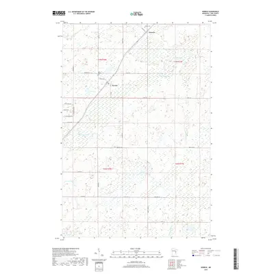
2019 Map of Kerrick
USGS Topo · Published 2019About this map
Kerrick and Duquette serve as the primary focal points of this Pine County landscape, where the northern timberlands meet a network of wetlands and small glacial lakes. The topography is defined by the drainage patterns of the Willow River and the Little Willow River, which meander through a series of sections dominated by low-lying bogs and marshes. Local history is anchored by the presence of Saint Michaels Cem near Kerrick and the Catholic Cem to the north in Duquette, reflecting the early settlement patterns of this rural Minnesota region. The map highlights numerous named water bodies including Walthausen Lake, Hicks Lake, and Bartels Lake, which are interconnected by seasonal streams like Sand Cr and Larsons Cr. A grid of county roads, including Co Hwy 45 and Co Hwy 44, provides the framework for navigating this transition zone between open forest and protected wetlands.
Find a feature on this map
37 named features on this map. Tap any name to fly to it.
Don’t see what you’re looking for? This feature index may not catch every label — zoom into the map to look around manually.
Map Details
Editions of this 2019 Kerrick Map
This is the sole edition of this map. No revisions or reprints were ever made.
Other maps of this area

1949 · Danbury
USGS Topo · 1:48,000

1949 · Holyoke
USGS Topo · 1:48,000

1953 · Duluth
USGS Topo · 1:250,000

1958 · Duluth
USGS Topo · 1:250,000

1962 · Holyoke
USGS Topo · 1:62,500

1962 · Bruno
USGS Topo · 1:62,500

1962 · Cloverdale
USGS Topo · 1:62,500

1962 · Danbury
USGS Topo · 1:62,500

1980 · Sandstone
USGS Topo · 1:100,000
1981 · Askov Lookout Tower
USGS Topo · 1:24,000