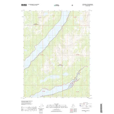
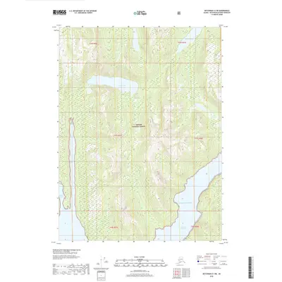
2018 Map of Ketchikan A-2 NW
USGS Topo · Published 2018About this map
Tongass National Forest encompasses the entirety of this coastal landscape, where the dramatic marine inlets of Southeast Alaska meet the steep slopes of the mainland. The map is defined by the deep reach of Boca De Quadra, a significant waterway that provides access from the Pacific Ocean into the interior. The topographic detail highlights the intricate shoreline of Marten Arm and its associated Marten Arm Lake, illustrating the complex hydrology of a region where freshwater systems are tightly coupled with saltwater fjords. The presence of Quadra Lakes and the Red River further emphasize the drainage patterns characteristic of this part of the Alexander Archipelago. With no roads or permanent settlements indicated, the map captures a purely natural environment managed for conservation and wilderness values in the early twenty-first century.
Find a feature on this map
13 named features on this map. Tap any name to fly to it.
Don’t see what you’re looking for? This feature index may not catch every label — zoom into the map to look around manually.
Map Details
Editions of this 2018 Ketchikan A-2 NW Map
This is the sole edition of this map. No revisions or reprints were ever made.
Other maps of this area

1952 · Ketchikan
USGS Topo · 1:250,000

1955 · Ketchikan A-2
USGS Topo · 1:63,360

1955 · Ketchikan B-2
USGS Topo · 1:63,360

1955 · Ketchikan A-3
USGS Topo · 1:63,360

1955 · Ketchikan B-3
USGS Topo · 1:63,360

1955 · Ketchikan
USGS Topo · 1:250,000
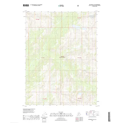
2018 · Ketchikan A-2 NE
USGS Topo · 1:25,000
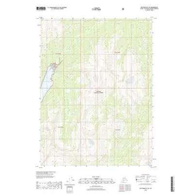
2018 · Ketchikan B-2 SE
USGS Topo · 1:25,000
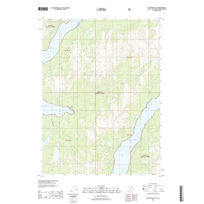
2018 · Ketchikan B-2 SW
USGS Topo · 1:25,000
2018 · Ketchikan A-3 NE
USGS Topo · 1:25,000