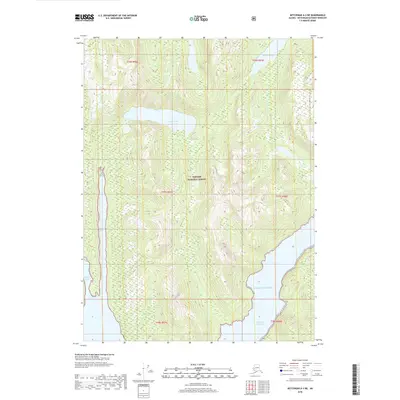
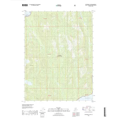
2018 Map of Ketchikan A-3 NE
USGS Topo · Published 2018About this map
Tongass National Forest preserves a remote coastal landscape in the Alexander Archipelago as of this 2018 survey. The terrain is dominated by steep, glaciated topography and deep water inlets where the Pacific Ocean reaches into the mainland. Key aquatic features include Badger Lake and Bakewell Lake, which sit at the head of dramatic fjords like Badger Bay and Boca De Quadra. This document shows the intersection of freshwater lake systems and saltwater coves, such as Weasel Cove, providing a detailed look at the drainage patterns of this temperate rainforest environment. The map is primarily an ecological and topographical study, showing no permanent roads or settlements, reflecting the wilderness character of the Ketchikan Gateway Borough.
Find a feature on this map
13 named features on this map. Tap any name to fly to it.
Don’t see what you’re looking for? This feature index may not catch every label — zoom into the map to look around manually.
Map Details
Editions of this 2018 Ketchikan A-3 NE Map
This is the sole edition of this map. No revisions or reprints were ever made.
Other maps of this area

1952 · Ketchikan
USGS Topo · 1:250,000

1955 · Ketchikan A-2
USGS Topo · 1:63,360

1955 · Ketchikan B-2
USGS Topo · 1:63,360

1955 · Ketchikan A-3
USGS Topo · 1:63,360

1955 · Ketchikan B-3
USGS Topo · 1:63,360

1955 · Ketchikan
USGS Topo · 1:250,000
2018 · Ketchikan B-3 SW
USGS Topo · 1:25,000
2018 · Ketchikan A-3 SW
USGS Topo · 1:25,000
2018 · Ketchikan B-2 SW
USGS Topo · 1:25,000
2018 · Ketchikan A-3 NW
USGS Topo · 1:25,000