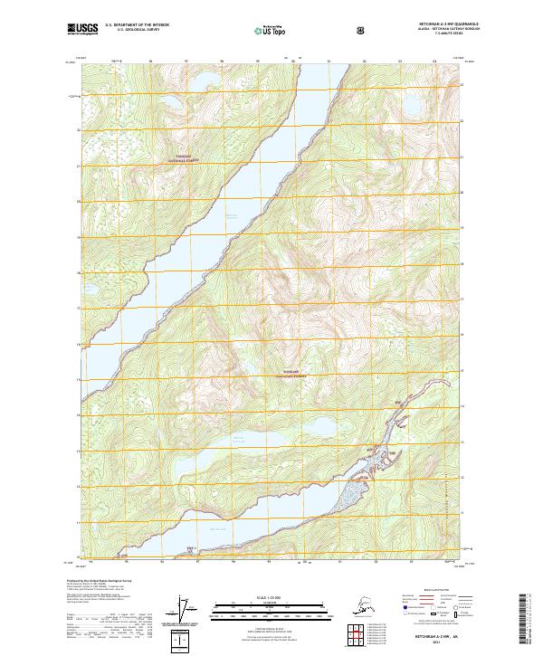
2021 Map of Ketchikan A-2 NW
USGS Topo · Published 2021About this map
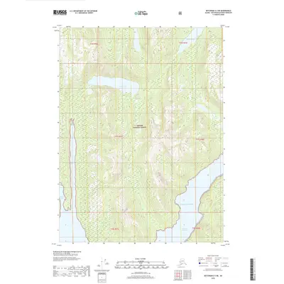
Boca De Quadra dominates this coastal landscape, carved deep into the southeastern Alaskan panhandle within the Tongass National Forest. The waterway separates steep, glacier-scoured slopes where the Peabody Mountains rise sharply from the shoreline in the southeast. This 2021 survey reveals a complex network of freshwater and tidal features, including the Marten Arm Lake and its outlet into the Marten Arm inlet. In the southeast corner, the Red River flows through the mountains toward the coast, while the Quadra Lakes sit perched on the western ridges. The lack of roads or developed settlements highlights the maritime-focused geography of this portion of the Ketchikan Gateway Borough.
Find a feature on this map
14 named features on this map. Tap any name to fly to it.
Don’t see what you’re looking for? This feature index may not catch every label — zoom into the map to look around manually.
Map Details
Editions of this 2021 Ketchikan A-2 NW Map
This is the sole edition of this map. No revisions or reprints were ever made.
Other maps of this area

1952 · Ketchikan
USGS Topo · 1:250,000

1955 · Ketchikan A-2
USGS Topo · 1:63,360

1955 · Ketchikan B-2
USGS Topo · 1:63,360

1955 · Ketchikan A-3
USGS Topo · 1:63,360

1955 · Ketchikan B-3
USGS Topo · 1:63,360

1955 · Ketchikan
USGS Topo · 1:250,000
2018 · Ketchikan A-2 NE
USGS Topo · 1:25,000
2018 · Ketchikan B-2 SE
USGS Topo · 1:25,000
2018 · Ketchikan B-2 SW
USGS Topo · 1:25,000
2018 · Ketchikan A-3 NE
USGS Topo · 1:25,000