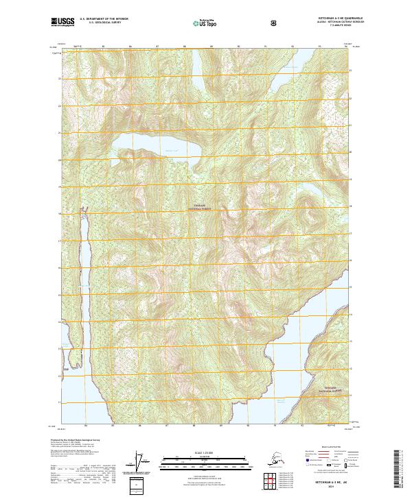
2021 Map of Ketchikan A-3 NE
USGS Topo · Published 2021About this map
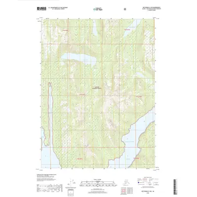
The Tongass National Forest dominates this coastal landscape, where steep maritime topography meets the inlets of Southeast Alaska. This recent topographic study captures a wilderness characterized by deep glacial carvings and significant freshwater bodies like Badger Lake and Bakewell Lake. The intersection of land and sea is most prominent at Badger Bay and the narrow inlet of Weasel Cove, while the southern boundary of the map opens into the larger waters of Boca De Quadra. The lack of road infrastructure or named settlements on this sheet emphasizes the area's role as a protected forest reserve, primarily accessible by water. For researchers and maritime historians, the map provides precise shoreline and elevation data for these remote fjords and the drainage patterns that feed into the Pacific.
Find a feature on this map
12 named features on this map. Tap any name to fly to it.
Don’t see what you’re looking for? This feature index may not catch every label — zoom into the map to look around manually.
Map Details
Editions of this 2021 Ketchikan A-3 NE Map
This is the sole edition of this map. No revisions or reprints were ever made.
Other maps of this area

1952 · Ketchikan
USGS Topo · 1:250,000

1955 · Ketchikan A-2
USGS Topo · 1:63,360

1955 · Ketchikan B-2
USGS Topo · 1:63,360

1955 · Ketchikan A-3
USGS Topo · 1:63,360

1955 · Ketchikan B-3
USGS Topo · 1:63,360

1955 · Ketchikan
USGS Topo · 1:250,000
2018 · Ketchikan B-3 SW
USGS Topo · 1:25,000
2018 · Ketchikan A-3 SW
USGS Topo · 1:25,000
2018 · Ketchikan B-2 SW
USGS Topo · 1:25,000
2018 · Ketchikan A-3 NE
USGS Topo · 1:25,000