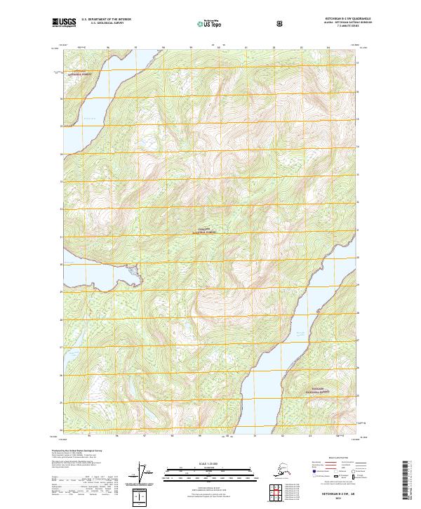
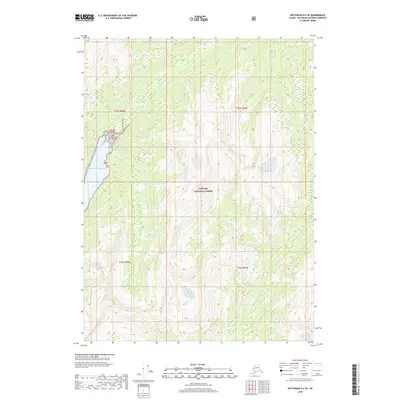
2021 Map of Ketchikan B-2 SW
USGS Topo · Published 2021About this map
Tongass National Forest dominates this landscape in the Ketchikan Gateway Borough, where the intricate maritime geography of Southeast Alaska is on full display. The map focuses on the complex waterways that carve through the coastline, including the deep reaches of Wilson Arm and the southern extension of Bakewell Arm. These inlets are bordered by steep, forested terrain rising rapidly from the waterline. A significant inland feature, Bakewell Lake, sits positioned between these coastal arms, draining toward the saltwater through narrow corridors. Evidence of human infrastructure in this wilderness is sparse, limited primarily to the Quartz Hill Access route in the northern section. The southeastern portion of the map transitions into the broad waters of Boca De Quadra, while smaller terrain features like Fish Gulch indicate the localized drainage patterns typical of this rain-heavy region.
Find a feature on this map
12 named features on this map. Tap any name to fly to it.
Don’t see what you’re looking for? This feature index may not catch every label — zoom into the map to look around manually.
Map Details
Editions of this 2021 Ketchikan B-2 SW Map
This is the sole edition of this map. No revisions or reprints were ever made.
Other maps of this area

1952 · Ketchikan
USGS Topo · 1:250,000

1955 · Ketchikan A-2
USGS Topo · 1:63,360

1955 · Ketchikan B-2
USGS Topo · 1:63,360

1955 · Ketchikan A-3
USGS Topo · 1:63,360

1955 · Ketchikan B-3
USGS Topo · 1:63,360

1955 · Ketchikan
USGS Topo · 1:250,000
2018 · Ketchikan B-3 NE
USGS Topo · 1:25,000
2018 · Ketchikan A-2 NE
USGS Topo · 1:25,000
2018 · Ketchikan B-2 NE
USGS Topo · 1:25,000
2018 · Ketchikan B-2 SE
USGS Topo · 1:25,000