
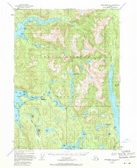
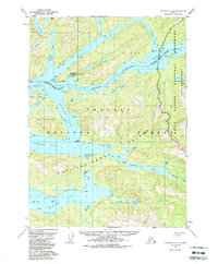
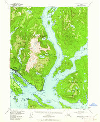
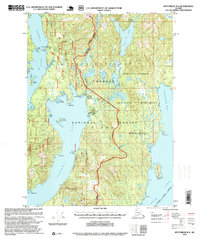
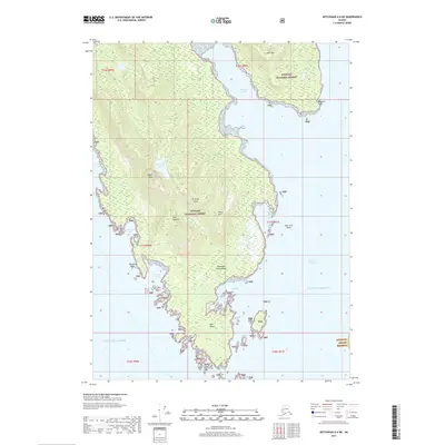
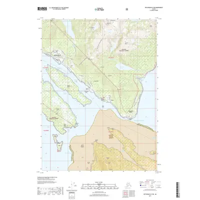
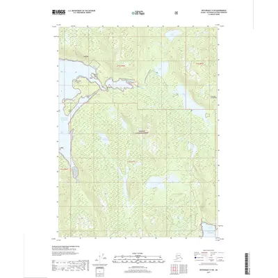
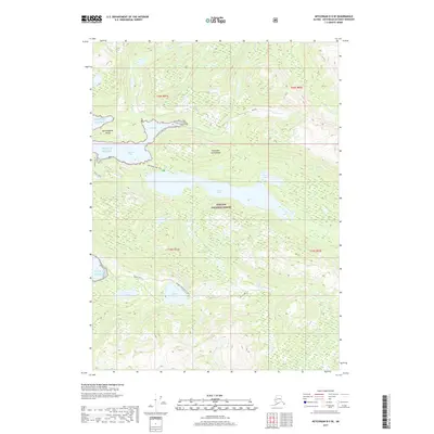
1991 Map of Ketchikan B-5 SW
USGS Topo · Published 1991About this map
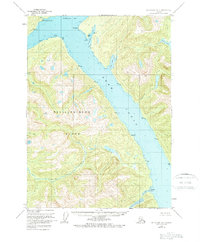
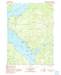
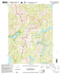
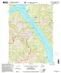
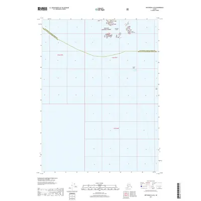
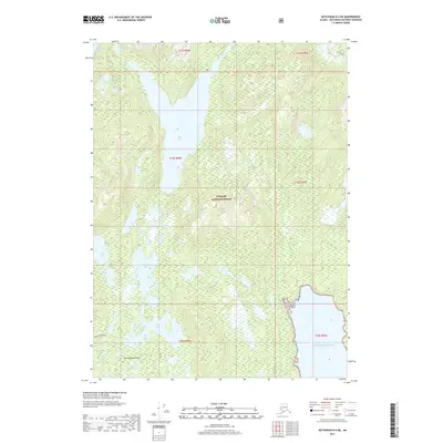
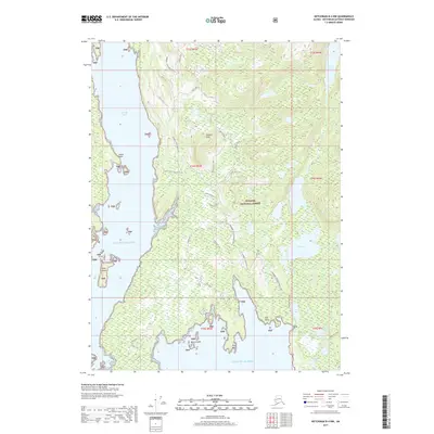
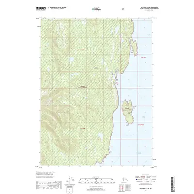
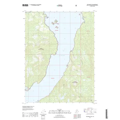
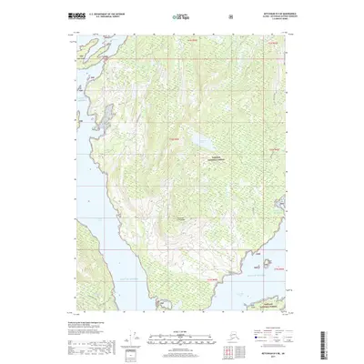
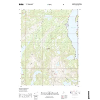
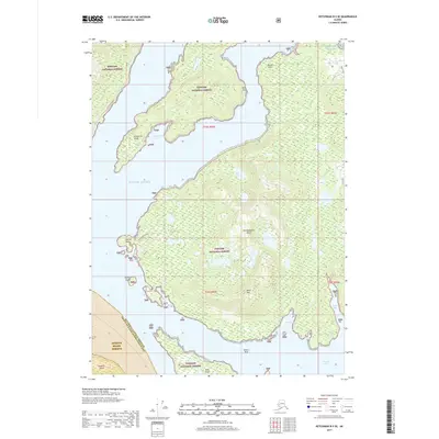
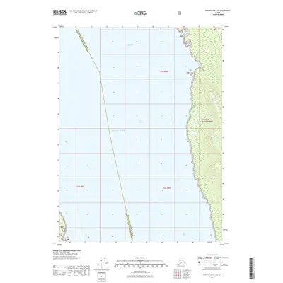
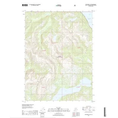
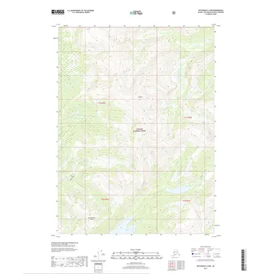
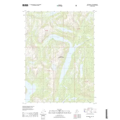
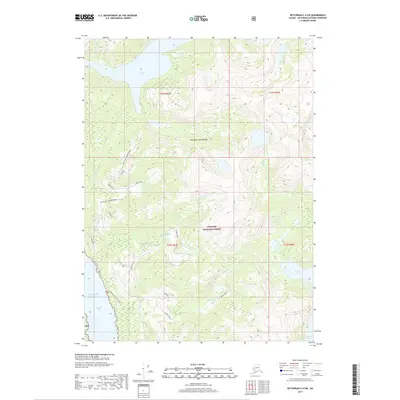
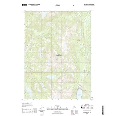
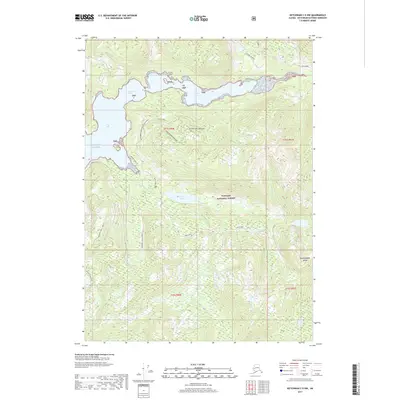
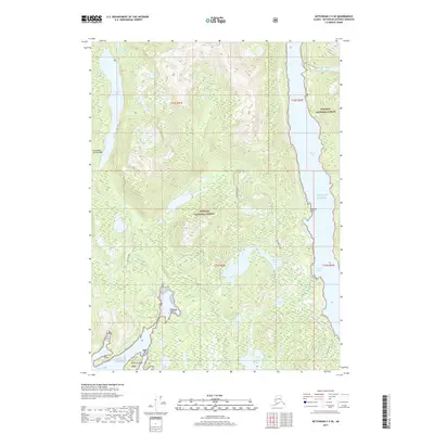
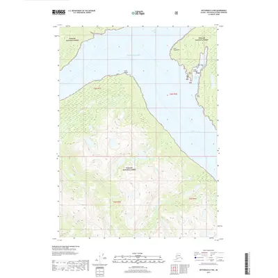
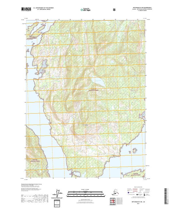
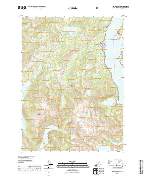
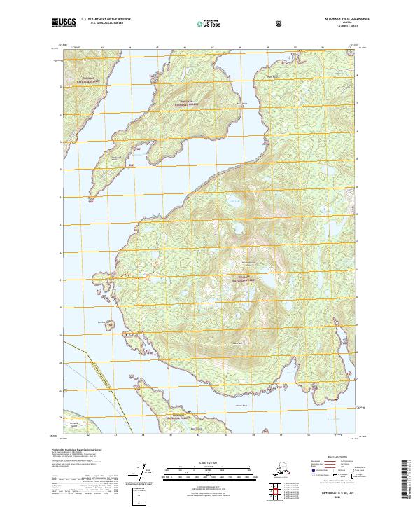
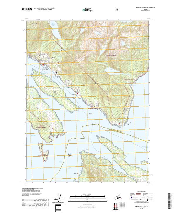
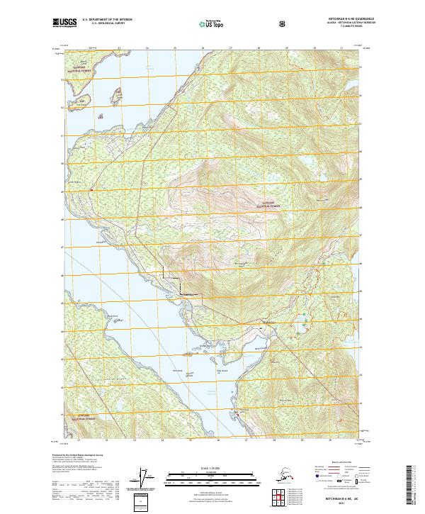
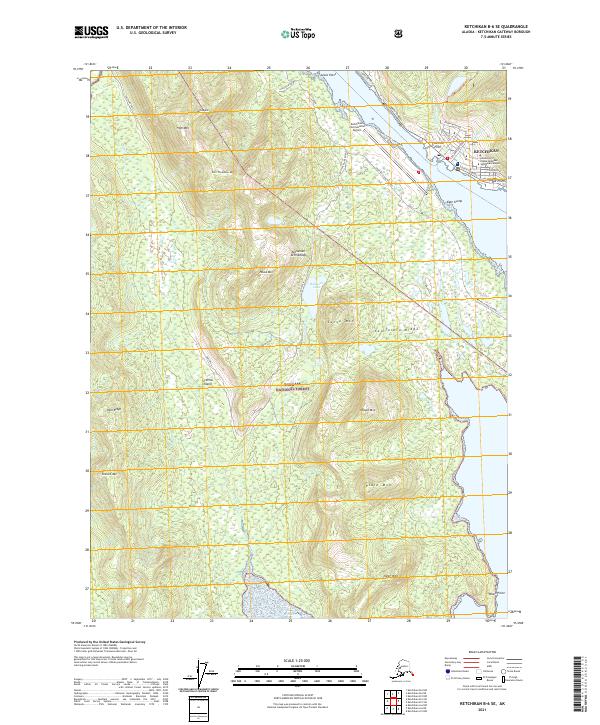
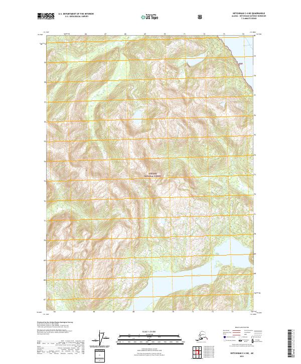
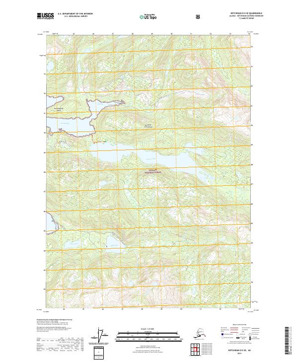
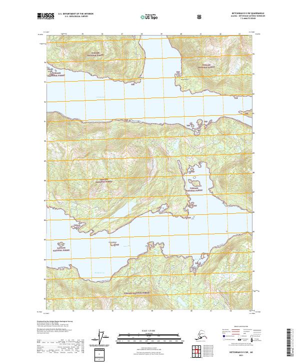
Ketchikan serves as the focal point of this maritime landscape, situated along the complex waterways of the Tongass National Forest in the early 1990s. The settlement pattern is defined by its dependence on the Tongass Narrows (East Channel), where the U S Coast Guard Station and Ketchikan Harbor anchor the local economy. To the south, the village of Saxman and the location of China Town on Annette Island reflect the distinct communities nested between the steep slopes of the Deer Mountains and the shore. Inland, a network of alpine water bodies like Lower Ketchikan Lake, Scout Lake, and Whitman Lake feed into the channels, illustrating the dramatic transition from high peaks like Minerva Mountain to the deep waters of Nichols Passage. The map also captures industrial footprints such as a Quarry near Saxman, highlighting the localized extraction efforts within this coastal rainforest environment.
Find a feature on this map
43 named features on this map. Tap any name to fly to it.
Don’t see what you’re looking for? This feature index may not catch every label — zoom into the map to look around manually.
Map Details
Editions of this 1991 Ketchikan B-5 SW Map
2 editions found
Historical Maps of Ketchikan Through Time
85 maps found
1948 Ketchikan C-5
Ketchikan Gateway Borough, AK
1949 Ketchikan B-4
Ketchikan Gateway Borough, AK
1952 Ketchikan B-4
Ketchikan Gateway Borough, AK
1952 Ketchikan C-4
Ketchikan Gateway Borough, AK
1952 Ketchikan D-5
Ketchikan Gateway Borough, AK
1953 Ketchikan B-6
Ketchikan Gateway Borough, AK
1953 Ketchikan C-5
Ketchikan Gateway Borough, AK
1953 Ketchikan D-5
Ketchikan Gateway Borough, AK
1954 Ketchikan B-5
Ketchikan Gateway Borough, AK
1954 Ketchikan B-6
Ketchikan Gateway Borough, AK
1955 Ketchikan B-5
Ketchikan Gateway Borough, AK
1955 Ketchikan C-4
Ketchikan Gateway Borough, AK
1955 Ketchikan D-4
Ketchikan Gateway Borough, AK
1962 Ketchikan D-4
Ketchikan Gateway Borough, AK
1991 Ketchikan B-5 NW
Ketchikan Gateway Borough, AK
1991 Ketchikan B-5 SW
Ketchikan Gateway Borough, AK
1991 Ketchikan B-6 NE
Ketchikan Gateway Borough, AK
1991 Ketchikan B-6 SE
Ketchikan Gateway Borough, AK
1994 Ketchikan B-5
Ketchikan Gateway Borough, AK
1994 Ketchikan B-6
Ketchikan Gateway Borough, AK
1995 Ketchikan B-4
Ketchikan Gateway Borough, AK
1995 Ketchikan C-4
Ketchikan Gateway Borough, AK
1996 Ketchikan D-4
Ketchikan Gateway Borough, AK
2017 Ketchikan A-6 NE
Ketchikan Gateway Borough, AK
2017 Ketchikan A-6 SE
Ketchikan Gateway Borough, AK
2017 Ketchikan B-4 NE
Ketchikan Gateway Borough, AK
2017 Ketchikan B-4 NW
Ketchikan Gateway Borough, AK
2017 Ketchikan B-4 SE
Ketchikan Gateway Borough, AK
2017 Ketchikan B-4 SW
Ketchikan Gateway Borough, AK
2017 Ketchikan B-5 NE
Ketchikan Gateway Borough, AK
2017 Ketchikan B-5 NW
Ketchikan Gateway Borough, AK
2017 Ketchikan B-5 SE
Ketchikan Gateway Borough, AK
2017 Ketchikan B-5 SW
Ketchikan Gateway Borough, AK
2017 Ketchikan B-6 NE
Ketchikan Gateway Borough, AK
2017 Ketchikan B-6 NW
Ketchikan Gateway Borough, AK
2017 Ketchikan B-6 SE
Ketchikan Gateway Borough, AK
2017 Ketchikan B-6 SW
Ketchikan Gateway Borough, AK
2017 Ketchikan C-4 NE
Ketchikan Gateway Borough, AK
2017 Ketchikan C-4 NW
Ketchikan Gateway Borough, AK
2017 Ketchikan C-4 SE
Ketchikan Gateway Borough, AK
2017 Ketchikan C-4 SW
Ketchikan Gateway Borough, AK
2017 Ketchikan C-5 NE
Ketchikan Gateway Borough, AK
2017 Ketchikan C-5 NW
Ketchikan Gateway Borough, AK
2017 Ketchikan C-5 SE
Ketchikan Gateway Borough, AK
2017 Ketchikan C-5 SW
Ketchikan Gateway Borough, AK
2017 Ketchikan C-6 NE
Ketchikan Gateway Borough, AK
2017 Ketchikan C-6 SE
Ketchikan Gateway Borough, AK
2017 Ketchikan C-6 SW
Ketchikan Gateway Borough, AK
2017 Ketchikan D-4 NW
Ketchikan Gateway Borough, AK
2017 Ketchikan D-4 SE
Ketchikan Gateway Borough, AK
2017 Ketchikan D-4 SW
Ketchikan Gateway Borough, AK
2017 Ketchikan D-5 NE
Ketchikan Gateway Borough, AK
2017 Ketchikan D-5 SE
Ketchikan Gateway Borough, AK
2017 Ketchikan D-5 SW
Ketchikan Gateway Borough, AK
2021 Ketchikan A-6 NE
Ketchikan Gateway Borough, AK
2021 Ketchikan A-6 SE
Ketchikan Gateway Borough, AK
2021 Ketchikan B-4 NE
Ketchikan Gateway Borough, AK
2021 Ketchikan B-4 NW
Ketchikan Gateway Borough, AK
2021 Ketchikan B-4 SE
Ketchikan Gateway Borough, AK
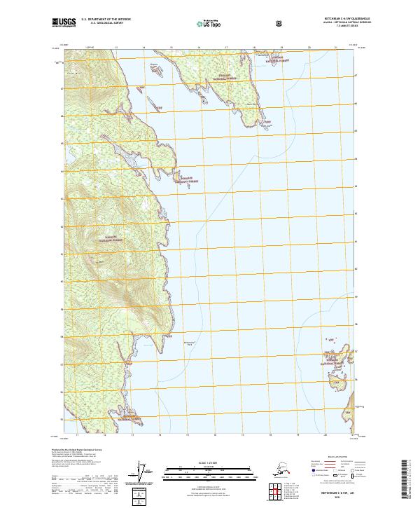
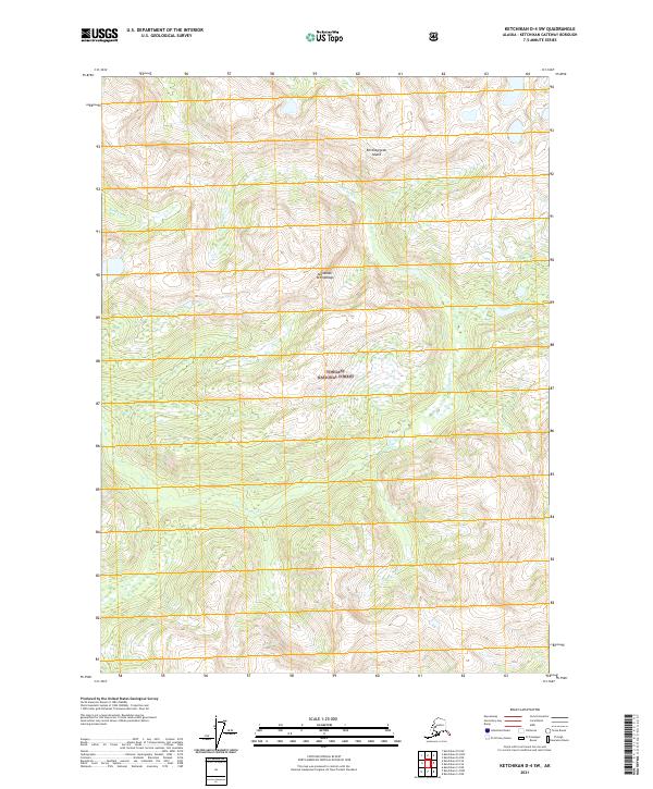
2021 Ketchikan B-4 SW
Ketchikan Gateway Borough, AK
2021 Ketchikan B-5 NE
Ketchikan Gateway Borough, AK
2021 Ketchikan B-5 NW
Ketchikan Gateway Borough, AK
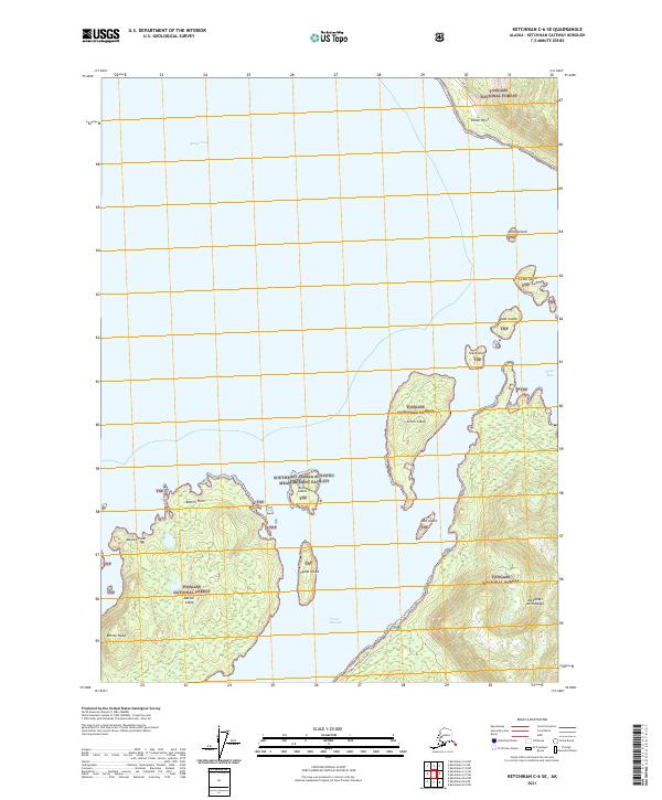
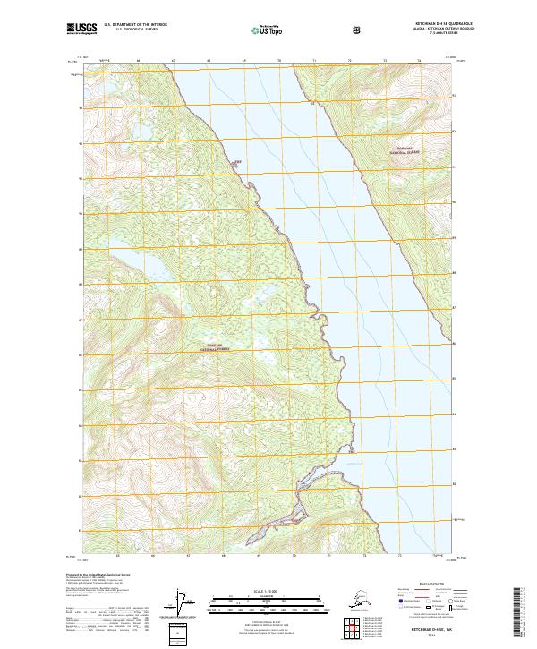
2021 Ketchikan B-5 SE
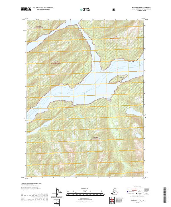
Ketchikan Gateway Borough, AK
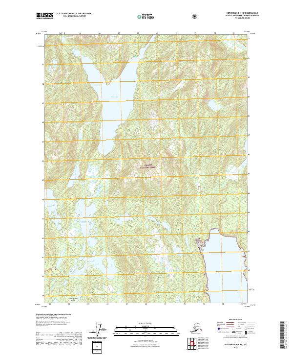
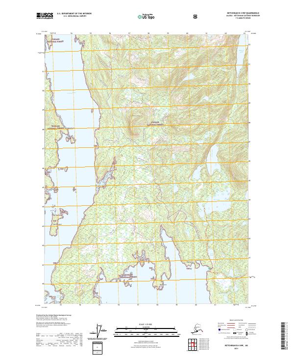
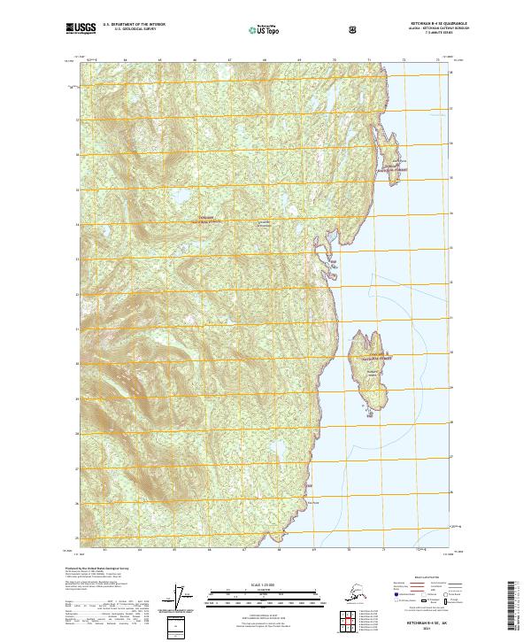
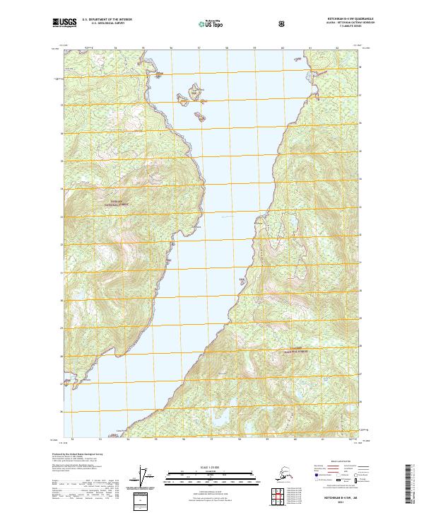
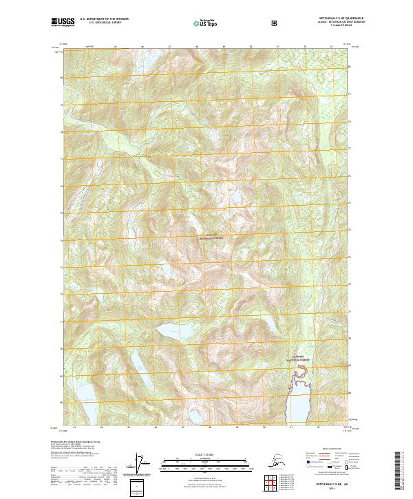
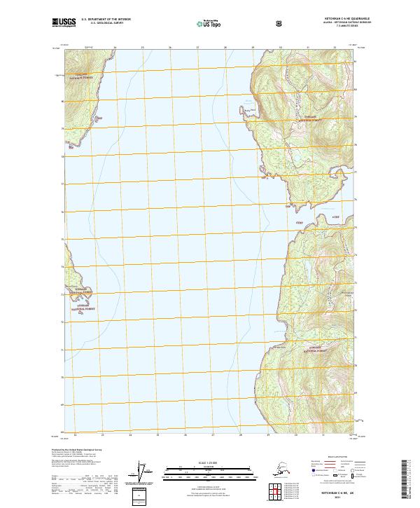
2021 Ketchikan B-5 SW
Ketchikan Gateway Borough, AK
2021 Ketchikan B-6 NE
Ketchikan Gateway Borough, AK
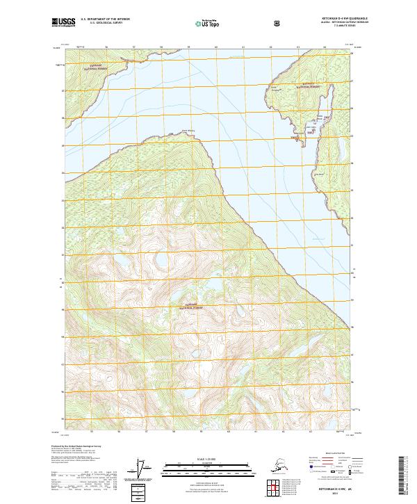
2021 Ketchikan B-6 NW
Ketchikan Gateway Borough, AK
2021 Ketchikan B-6 SE
Ketchikan Gateway Borough, AK
2021 Ketchikan B-6 SW
Ketchikan Gateway Borough, AK
2021 Ketchikan C-4 NE
Ketchikan Gateway Borough, AK
2021 Ketchikan C-4 NW
Ketchikan Gateway Borough, AK
2021 Ketchikan C-4 SE
Ketchikan Gateway Borough, AK
2021 Ketchikan C-4 SW
Ketchikan Gateway Borough, AK
2021 Ketchikan C-5 NE
Ketchikan Gateway Borough, AK
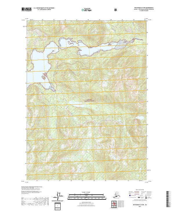
2021 Ketchikan C-5 NW
Ketchikan Gateway Borough, AK
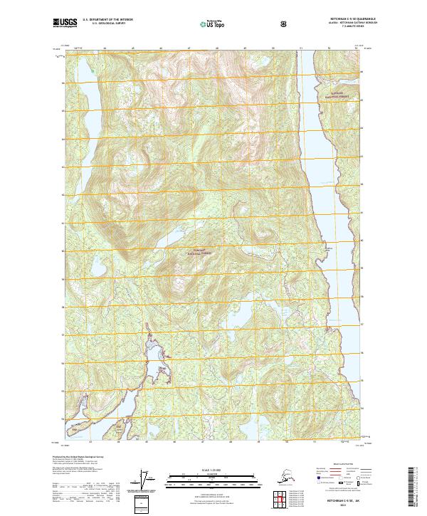
2021 Ketchikan C-5 SE
Ketchikan Gateway Borough, AK
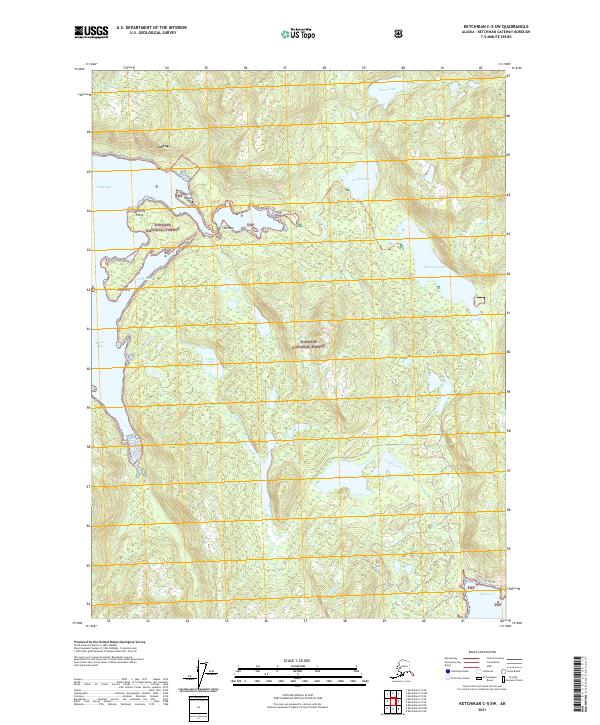
2021 Ketchikan C-5 SW
Ketchikan Gateway Borough, AK
2021 Ketchikan C-6 NE
Ketchikan Gateway Borough, AK
2021 Ketchikan C-6 SE
Ketchikan Gateway Borough, AK
2021 Ketchikan C-6 SW
Ketchikan Gateway Borough, AK
2021 Ketchikan D-4 NW
Ketchikan Gateway Borough, AK
2021 Ketchikan D-4 SE
Ketchikan Gateway Borough, AK
2021 Ketchikan D-4 SW
Ketchikan Gateway Borough, AK
2021 Ketchikan D-5 NE
Ketchikan Gateway Borough, AK
2021 Ketchikan D-5 SE
Ketchikan Gateway Borough, AK
2021 Ketchikan D-5 SW
Ketchikan Gateway Borough, AK