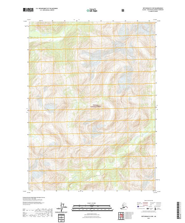
2021 Map of Ketchikan D-2 NW
USGS Topo · Published 2021About this map
The Chickamin River corridor dominates this coastal Alaskan landscape, providing a deep look into the drainage patterns of the Tongass National Forest. The map details the confluence and intricate tributaries of this glacial river system, including the S Fork Chickamin River and Indian Cr. This survey illustrates the relationship between the high-altitude terrain and the major watercourses that define the Prince of Wales-Hyder region. The land is organized through the Public Land Survey System, showing several townships including t68s r95e and t69s r97e, which reflect the administrative boundaries within the federally managed wilderness. The absence of roads or permanent settlements emphasizes the character of this river basin as it remained in the early 21st century.
Find a feature on this map
8 named features on this map. Tap any name to fly to it.
Don’t see what you’re looking for? This feature index may not catch every label — zoom into the map to look around manually.
Map Details
Editions of this 2021 Ketchikan D-2 NW Map
This is the sole edition of this map. No revisions or reprints were ever made.
Other maps of this area

1951 · Bradfield Canal
USGS Topo · 1:250,000

1952 · Ketchikan
USGS Topo · 1:250,000

1954 · Bradfield Canal
USGS Topo · 1:250,000

1955 · Ketchikan D-2
USGS Topo · 1:63,360

1955 · Bradfield canal A-2
USGS Topo · 1:63,360

1955 · Ketchikan D-3
USGS Topo · 1:63,360

1955 · Bradfield canal A-3
USGS Topo · 1:63,360

1955 · Ketchikan
USGS Topo · 1:250,000

1955 · Bradfield Canal
USGS Topo · 1:250,000
1996 · Ketchikan D-3
USGS Topo · 1:63,360