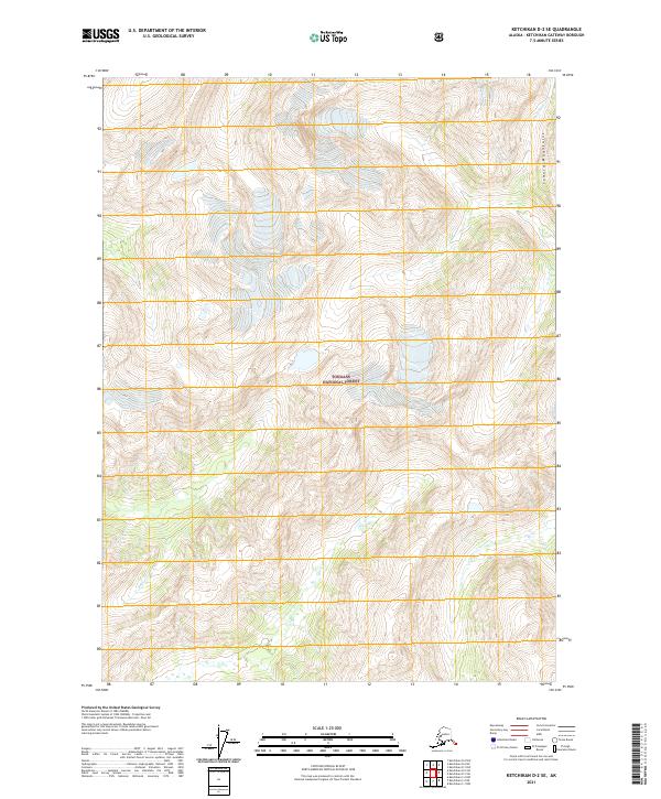
2021 Map of Ketchikan D-2 SE
USGS Topo · Published 2021About this map
Tongass National Forest encloses the high peaks and steep drainages of this maritime wilderness, where elevation contours reveal the dramatic relief of the Seward Mountains. This interior portion of the Alexander Archipelago is defined by heavy glaciation and dense coniferous cover, with the Davis River cutting through the northeast corner of the sheet. To the southwest, Barrier Cr descends through a series of narrow valleys. The lack of roads or established trails highlights the remote character of this landscape, managed under the Public Land Survey System as townships t69s r97e and t70s r98e. Researchers and historians can use this survey to examine the drainage patterns and ice-carved topography that have long dictated human access to the Alaskan panhandle.
Find a feature on this map
8 named features on this map. Tap any name to fly to it.
Don’t see what you’re looking for? This feature index may not catch every label — zoom into the map to look around manually.
Map Details
Editions of this 2021 Ketchikan D-2 SE Map
This is the sole edition of this map. No revisions or reprints were ever made.
Other maps of this area

1952 · Ketchikan
USGS Topo · 1:250,000

1955 · Ketchikan D-2
USGS Topo · 1:63,360

1955 · Ketchikan C-2
USGS Topo · 1:63,360

1955 · Ketchikan D-1
USGS Topo · 1:63,360

1955 · Ketchikan C-1
USGS Topo · 1:63,360

1955 · Ketchikan
USGS Topo · 1:250,000

1996 · Ketchikan C-2
USGS Topo · 1:63,360
1996 · Ketchikan D-2
USGS Topo · 1:63,360
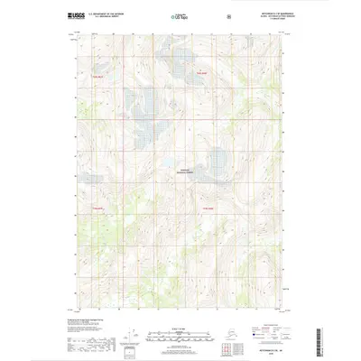
2018 · Ketchikan D-2 SE
USGS Topo · 1:25,000
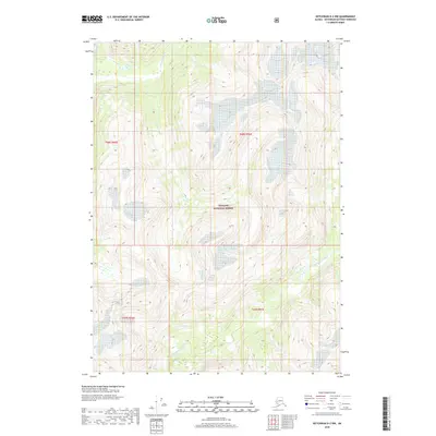
2018 · Ketchikan D-2 NW
USGS Topo · 1:25,000