
1955 Map of Kewaskum
USGS Topo · Published 1957About this map
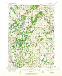
Kettle Moraine State Forest dominates the glacial landscape of this 1950s survey, illustrating the complex topographical legacy of the Wisconsin glaciation. The map detail highlights the characteristic kettles and moraines that define the terrain, interspersed with numerous water bodies like Long Lake and the smaller Mauthe Lake. Local commerce and community life are anchored by crossroads settlements such as Dundee, Beechwood, and Batavia, while industrial history is marked by Conners Mill on the Milwaukee River. The presence of several rural schools, including the Washington Sch and St Johns Sch, both labeled as abandoned by the mid-fifties, indicates a shifting educational landscape as smaller districts consolidated. Genealogists will find value in the specific placement of family-named landmarks and cemeteries like Buffalo Trinity Cem and Pilgrim Rest Cem near the town of Kewaskum.
Find a feature on this map
87 named features on this map. Tap any name to fly to it.
Don’t see what you’re looking for? This feature index may not catch every label — zoom into the map to look around manually.
Map Details
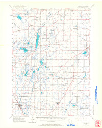
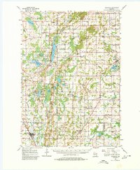
Editions of this 1955 Kewaskum Map
4 editions found
Other maps of this area

1892 · Port Washington
USGS Topo · 1:62,500

1904 · West Bend
USGS Topo · 1:62,500

1904 · Port Washington
USGS Topo · 1:62,500

1904 · Hartford
USGS Topo · 1:62,500

1910 · Fond du Lac
USGS Topo · 1:62,500

1954 · Sheboygan Falls
USGS Topo · 1:62,500

1954 · Howards Grove
USGS Topo · 1:62,500

1954 · Franklin
USGS Topo · 1:24,000

1954 · Kiel
USGS Topo · 1:62,500

1954 · Milwaukee
USGS Topo · 1:250,000