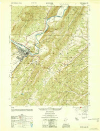
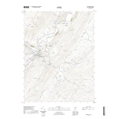
1922 Map of Keyser
USGS Topo · Published 1943About this map
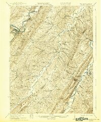
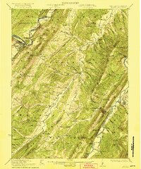
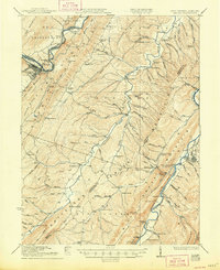
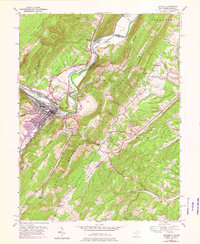
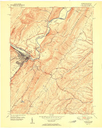
Keyser and Romney anchor this topographic portrait of the Potomac highlands during the transition into the early twentieth century. The terrain is defined by the sharp, parallel ridges of Knobly Mountain and Mill Creek Mountain, which forced settlement and transport into narrow corridors like the valley of Patterson Creek. This landscape supported a dense network of rural infrastructure, including a remarkable concentration of one-room schools such as Red Star School, Pancake School, and Beaver Run School. Along the North Branch Potomac River, industrial activity is evidenced by the Baltimore and Ohio Railroad passing through McCool and Dawson. The map also captures several vital community centers of the era, from the milling hub at Reeses Mill to the ecclesiastical sites of Trinity Church and Bethesda Church.
Find a feature on this map
66 named features on this map. Tap any name to fly to it.
Don’t see what you’re looking for? This feature index may not catch every label — zoom into the map to look around manually.
Map Details
Editions of this 1922 Keyser Map
3 editions found
Historical Maps of Keyser Through Time
11 maps found

1920 Keyser
Mineral County, WV

1921 Keyser
Mineral County, WV
1922 Keyser
Mineral County, WV
1949 Keyser
Mineral County, WV
1950 Keyser
Mineral County, WV
1951 Keyser
Mineral County, WV
2011 Keyser
Mineral County, WV

2014 Keyser
Mineral County, WV
2016 Keyser
Mineral County, WV
2019 Keyser
Mineral County, WV
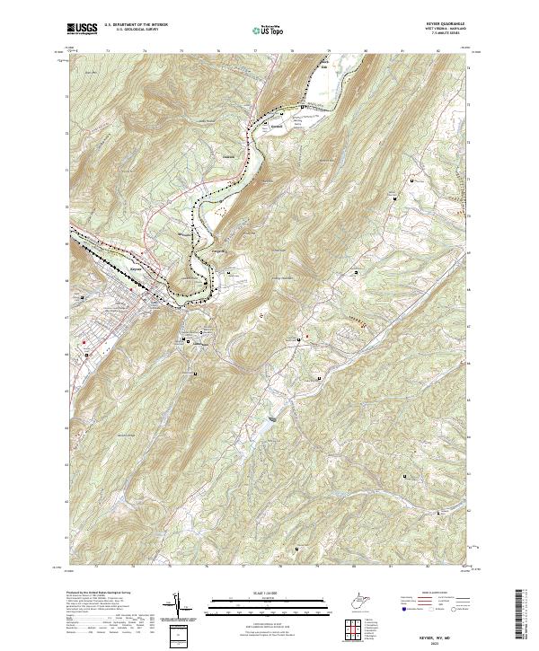
2023 Keyser
Mineral County, WV