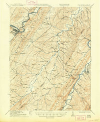
1922 Map of Keyser
USGS Topo · Published 1948About this map
Patterson Creek carves a central valley through this 1920s Appalachian landscape, serving as a corridor for dozens of rural schools and small settlements. The area is defined by the steep ridges of Knobby Mountain and Mill Creek Mountain, which hem in the agricultural and transport networks of Mineral and Hampshire counties. High-altitude landmarks like Slate Lick Knob overlook a dense network of country schools, including the Eureka School and Red Star School, reflecting the decentralized community structure of the era.
Find a feature on this map
103 named features on this map. Tap any name to fly to it.
Don’t see what you’re looking for? This feature index may not catch every label — zoom into the map to look around manually.
Map Details
Editions of this 1922 Keyser Map
3 editions found

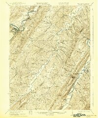
Other maps of this area

1891 · Romney
USGS Topo · 1:125,000

1895 · Piedmont
USGS Topo · 1:125,000

1898 · Frostburg
USGS Topo · 1:62,500

1899 · Flintstone
USGS Topo · 1:62,500

1899 · Grantsville
USGS Topo · 1:62,500

1900 · Flintstone
USGS Topo · 1:62,500

1901 · Frostburg
USGS Topo · 1:62,500

1904 · Grantsville
USGS Topo · 1:62,500

1908 · Frostburg
USGS Topo · 1:62,500

1919 · Elk Garden
USGS Topo · 1:48,000