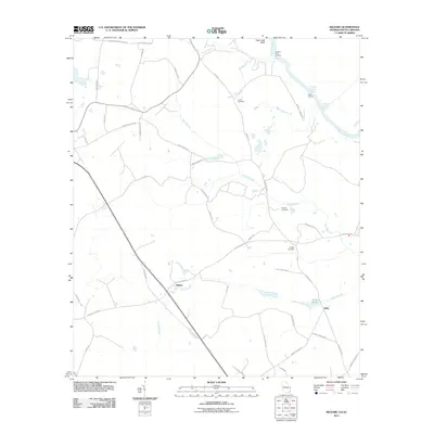
2011 Map of Kildare
USGS Topo · Published 2011About this map
Kildare and the nearby settlement of Oaky define the central character of this Screven County landscape, where the Georgia-South Carolina border follows the meandering path of the Savannah River. The topography is marked by significant riverine features like Tiger Leap Bluff and the navigational waters of Hudson Ferry Reach. This rural corridor is etched with family and local history, evident in the network of secondary roads such as Clyo Kildare Rd and Oliver Kildare Rd. Along the riverbanks, points like Hudson Ferry Landing and Eneck Landing speak to a legacy of waterborne transport and local commerce. Inland, the distribution of Eneck Cemetery, Coursey Cemetery, and Dugger Cemetery among the various branches—including Devils Branch and Runs Branch—provides a clear spatial record of early regional settlement patterns and the families who established themselves between the wetlands and the upland woods.
Find a feature on this map
46 named features on this map. Tap any name to fly to it.
Don’t see what you’re looking for? This feature index may not catch every label — zoom into the map to look around manually.
Map Details
Editions of this 2011 Kildare Map
This is the sole edition of this map. No revisions or reprints were ever made.
Other maps of this area

1918 · Oliver
USGS Topo · 1:62,500

1919 · Shirley
USGS Topo · 1:62,500

1919 · Egypt
USGS Topo · 1:62,500

1920 · Oliver
USGS Topo · 1:62,500

1921 · Brooklet
USGS Topo · 1:62,500

1939 · Egypt
USGS Topo · 1:62,500

1943 · Brooklet
USGS Topo · 1:62,500

1943 · Egypt
USGS Topo · 1:62,500

1943 · Shirley
USGS Topo · 1:62,500

1943 · Millen
USGS Topo · 1:125,000