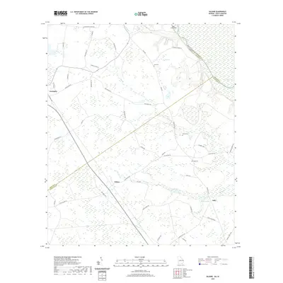
2020 Map of Kildare
USGS Topo · Published 2020About this map
Newington and the smaller settlements of Kildare and Oaky anchor this landscape along the border of Screven and Effingham counties. The terrain is defined by the slow-moving waters of the Savannah River, which marks the state line with South Carolina. This river corridor features distinctive geographic points like Tiger Leap Bluff and the quiet backwaters of Fowl Crawl Lake and Hudson Ferry Reach.
Find a feature on this map
54 named features on this map. Tap any name to fly to it.
Don’t see what you’re looking for? This feature index may not catch every label — zoom into the map to look around manually.
Map Details
Editions of this 2020 Kildare Map
This is the sole edition of this map. No revisions or reprints were ever made.
Other maps of this area

1918 · Oliver
USGS Topo · 1:62,500

1919 · Shirley
USGS Topo · 1:62,500

1919 · Egypt
USGS Topo · 1:62,500

1920 · Oliver
USGS Topo · 1:62,500

1921 · Brooklet
USGS Topo · 1:62,500

1939 · Egypt
USGS Topo · 1:62,500

1943 · Brooklet
USGS Topo · 1:62,500

1943 · Egypt
USGS Topo · 1:62,500

1943 · Shirley
USGS Topo · 1:62,500

1943 · Millen
USGS Topo · 1:125,000