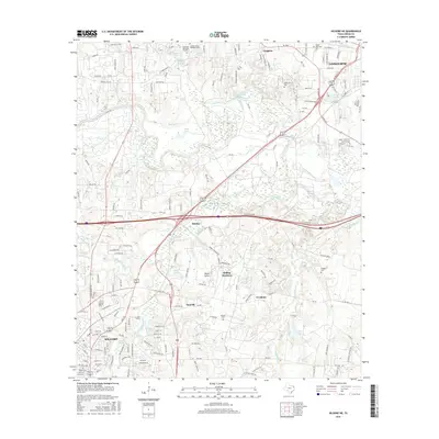
2016 Map of Kilgore NE
USGS Topo · Published 2016About this map
The Sabine River snakes through this landscape between Longview and Kilgore, defining a region shaped by industry and the corridor of Interstate 20. The map reveals the connective tissue between these two East Texas cities, including smaller settlements like Kinsloe, Danville, and Fredonia. For genealogists and local historians, several burial grounds are documented, such as Utzman Cem, Wilkerson Cem, and Grable Cem, which sit alongside established residential areas like Rolling Meadows.
Find a feature on this map
108 named features on this map. Tap any name to fly to it.
Don’t see what you’re looking for? This feature index may not catch every label — zoom into the map to look around manually.
Map Details
Editions of this 2016 Kilgore NE Map
This is the sole edition of this map. No revisions or reprints were ever made.
Other maps of this area
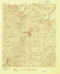
1936 · Kilgore
USGS Topo · 1:48,000
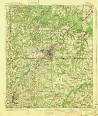
1940 · Kilgore
USGS Topo · 1:62,500

1956 · Tyler
USGS Topo · 1:250,000
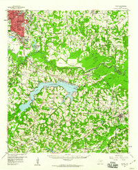
1958 · Tatum
USGS Topo · 1:62,500
1960 · White Oak
USGS Topo · 1:24,000
1960 · Gladewater
USGS Topo · 1:24,000
1962 · Longview Heights
USGS Topo · 1:24,000
1971 · Kilgore NE
USGS Topo · 1:24,000
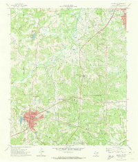
1971 · Kilgore SW
USGS Topo · 1:24,000
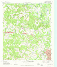
1971 · Kilgore NW
USGS Topo · 1:24,000