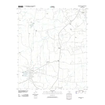
2010 Map of Kilgore SW
USGS Topo · Published 2010About this map
Overton and the southwestern outskirts of Kilgore anchor this East Texas landscape, which is deeply marked by early 21st-century rural infrastructure and agricultural land use. Small, historic communities like Laird Hill, Leveretts Chapel, and Sexton City are interconnected by a dense network of farm-to-market roads and county routes. The Kilgore College Demonstration Farm serves as a notable institutional landmark near the center of the quadrangle, reflecting the region's educational and agricultural ties.
Find a feature on this map
91 named features on this map. Tap any name to fly to it.
Don’t see what you’re looking for? This feature index may not catch every label — zoom into the map to look around manually.
Map Details
Editions of this 2010 Kilgore SW Map
This is the sole edition of this map. No revisions or reprints were ever made.
Other maps of this area

1935 · Henderson
USGS Topo · 1:48,000

1936 · Kilgore
USGS Topo · 1:48,000

1937 · Troupe
USGS Topo · 1:48,000

1938 · Winona
USGS Topo · 1:48,000

1939 · Henderson
USGS Topo · 1:62,500

1940 · Kilgore
USGS Topo · 1:62,500

1943 · Troup
USGS Topo · 1:62,500

1943 · Winona
USGS Topo · 1:62,500

1956 · Tyler
USGS Topo · 1:250,000

1966 · Hope Pond
USGS Topo · 1:24,000