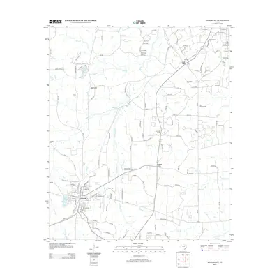
2013 Map of Kilgore SW
USGS Topo · Published 2013About this map
Overton anchors the southwest corner of this East Texas survey, where residential streets give way to a landscape defined by small settlements and watercourses. To the north and east, the map traces the communities of Red Level, Laird Hill, Leverett's Chapel, and Sexton City, each connected by a network of Farm to Market roads like FM-3053 and FM-2012. The terrain is drained by numerous creeks, including Rabbit Cr and Little Rabbit Cr, which snake through the area's wooded and agricultural tracts.
Find a feature on this map
157 named features on this map. Tap any name to fly to it.
Don’t see what you’re looking for? This feature index may not catch every label — zoom into the map to look around manually.
Map Details
Editions of this 2013 Kilgore SW Map
This is the sole edition of this map. No revisions or reprints were ever made.
Other maps of this area

1935 · Henderson
USGS Topo · 1:48,000

1936 · Kilgore
USGS Topo · 1:48,000

1937 · Troupe
USGS Topo · 1:48,000

1938 · Winona
USGS Topo · 1:48,000

1939 · Henderson
USGS Topo · 1:62,500

1940 · Kilgore
USGS Topo · 1:62,500

1943 · Troup
USGS Topo · 1:62,500

1943 · Winona
USGS Topo · 1:62,500

1956 · Tyler
USGS Topo · 1:250,000

1966 · Hope Pond
USGS Topo · 1:24,000