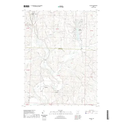
2019 Map of Killbuck
USGS Topo · Published 2019About this map
Killbuck Creek dominates the valley floor as it meanders southward through a landscape defined by the drainage systems of Doughty Cr and Buckhorn Run. This 2019 survey documents the rural character of the border between Holmes and Coshocton counties, anchored by the village of Killbuck and the planned community around Lake Buckhorn. The map reveals a high concentration of small family and community burial grounds, including Pleasant Grove Cem, Salem Cem, and Oakhill Cem, providing a clear spatial record for genealogical research.
Find a feature on this map
107 named features on this map. Tap any name to fly to it.
Don’t see what you’re looking for? This feature index may not catch every label — zoom into the map to look around manually.
Map Details
Editions of this 2019 Killbuck Map
This is the sole edition of this map. No revisions or reprints were ever made.
Other maps of this area

1912 · Loudonville
USGS Topo · 1:62,500

1913 · Brinkhaven
USGS Topo · 1:62,500

1913 · Coshocton
USGS Topo · 1:62,500

1914 · Loudonville
USGS Topo · 1:62,500

1915 · Brinkhaven
USGS Topo · 1:62,500

1915 · Millersburg
USGS Topo · 1:62,500

1915 · Coshocton
USGS Topo · 1:62,500

1943 · Millersburg
USGS Topo · 1:62,500

1943 · Coshocton
USGS Topo · 1:62,500

1943 · Loudonville
USGS Topo · 1:62,500