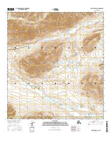
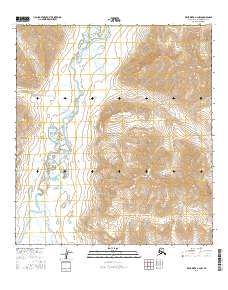
2016 Map of Killik River A-2 SE
USGS Topo · Published 2016About this map
Gates Of The Arctic National Park encompasses the majority of this wilderness landscape in northern Alaska. The terrain is defined by the prominent Egiklak Mtn, which serves as a central high point for the local drainage systems. Water follows the natural contours of the Brooks Range through several key waterways, including Kanongiksuk Cr and Suluak Cr in the northern half of the quadrangle. To the south, the headwaters of Easter Creek and its variant-labeled Easter Cr flow alongside Nuhinik Cr, illustrating the complex hydrological network of the North Slope Borough. This 2016 survey captures a remote region where traditional township and range lines, such as t31n r22e and t31n r23e, overlay a landscape largely untouched by permanent infrastructure or road networks.
Find a feature on this map
15 named features on this map. Tap any name to fly to it.
Don’t see what you’re looking for? This feature index may not catch every label — zoom into the map to look around manually.
Map Details
Editions of this 2016 Killik River A-2 SE Map
This is the sole edition of this map. No revisions or reprints were ever made.
Other maps of this area

1951 · Survey Pass
USGS Topo · 1:250,000

1951 · Killik River
USGS Topo · 1:250,000

1956 · Survey Pass
USGS Topo · 1:250,000

1956 · Killik River
USGS Topo · 1:250,000

1964 · Survey Pass
USGS Topo · 1:250,000

1966 · Survey Pass
USGS Topo · 1:250,000
1986 · Killik River A-2
USGS Topo · 1:63,360
1986 · Killik River A-1
USGS Topo · 1:63,360
1986 · Survey Pass D-2
USGS Topo · 1:63,360
2016 · Killik River A-2 NW
USGS Topo · 1:25,000